Year 3/4 Bulletin - Maths
Learning Intention: To use directional language and compass points to give clear directions from one location to another.
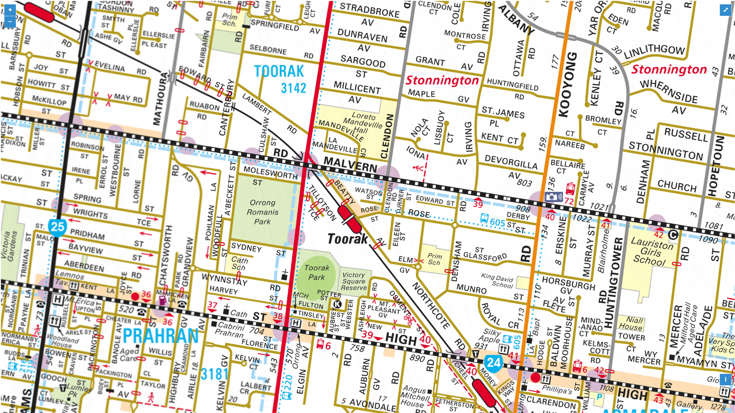
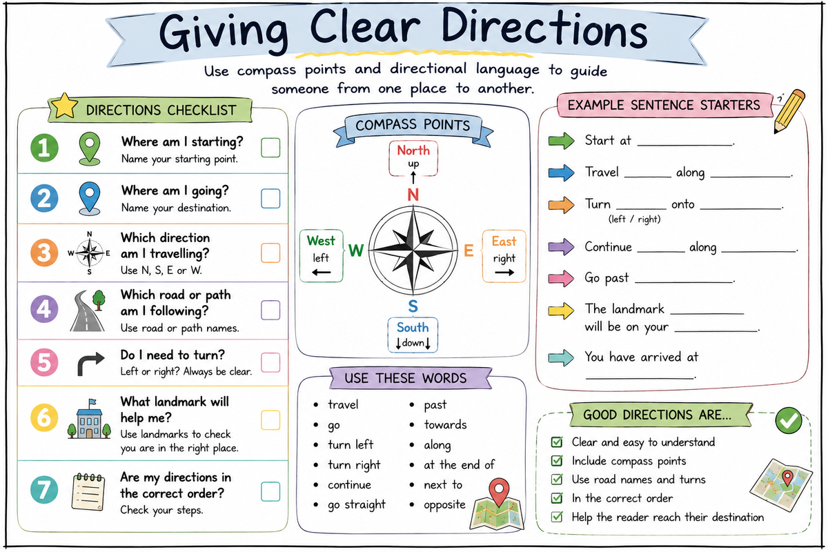
Overview of the Lesson: During this learning experience, the teacher modelled how to use a Melways map to plan a route between two familiar locations. Students watched as the teacher identified the starting point and destination, located the compass points, traced the roads in order and thought aloud about the most accurate language to use. Particular attention was given to including north, south, east and west, as well as road names, left and right turns, and recognisable landmarks.
Students then used the anchor chart and their own Melways map to plan and write a set of directions independently. They worked carefully to ensure that each step was written in the correct order and that their instructions were clear enough for another person to follow. Students will bring home their completed directions sheet and a copy of the anchor chart to share with their families. We did notice as part of the larger map the Compass point in the corner is upside down and students had to re-orient their maps accordingly.
Continuing the Learning at Home:
- Ask your child to read their directions aloud and trace the route on the map as they explain each step.
- Choose two familiar locations and ask your child to plan a new route between them using compass points, road names and landmarks.
- During a walk or car trip, discuss whether you are travelling north, south, east or west.
- Give your child a simple destination in the local area and ask them to explain the directions in the correct order.
- Encourage your child to check whether their directions include a clear starting point, destination, turns, road names and useful landmarks.
Year 3/4 Team
rosanna.caruso@education.vic.gov.au
Richard.Cornell@education.vic.gov.au
Brigitte.Memmolo@education.vic.gov.au