From the Team 3/4 Classrooms
Integrated Studies

From the Team 3/4 Classrooms
Integrated Studies
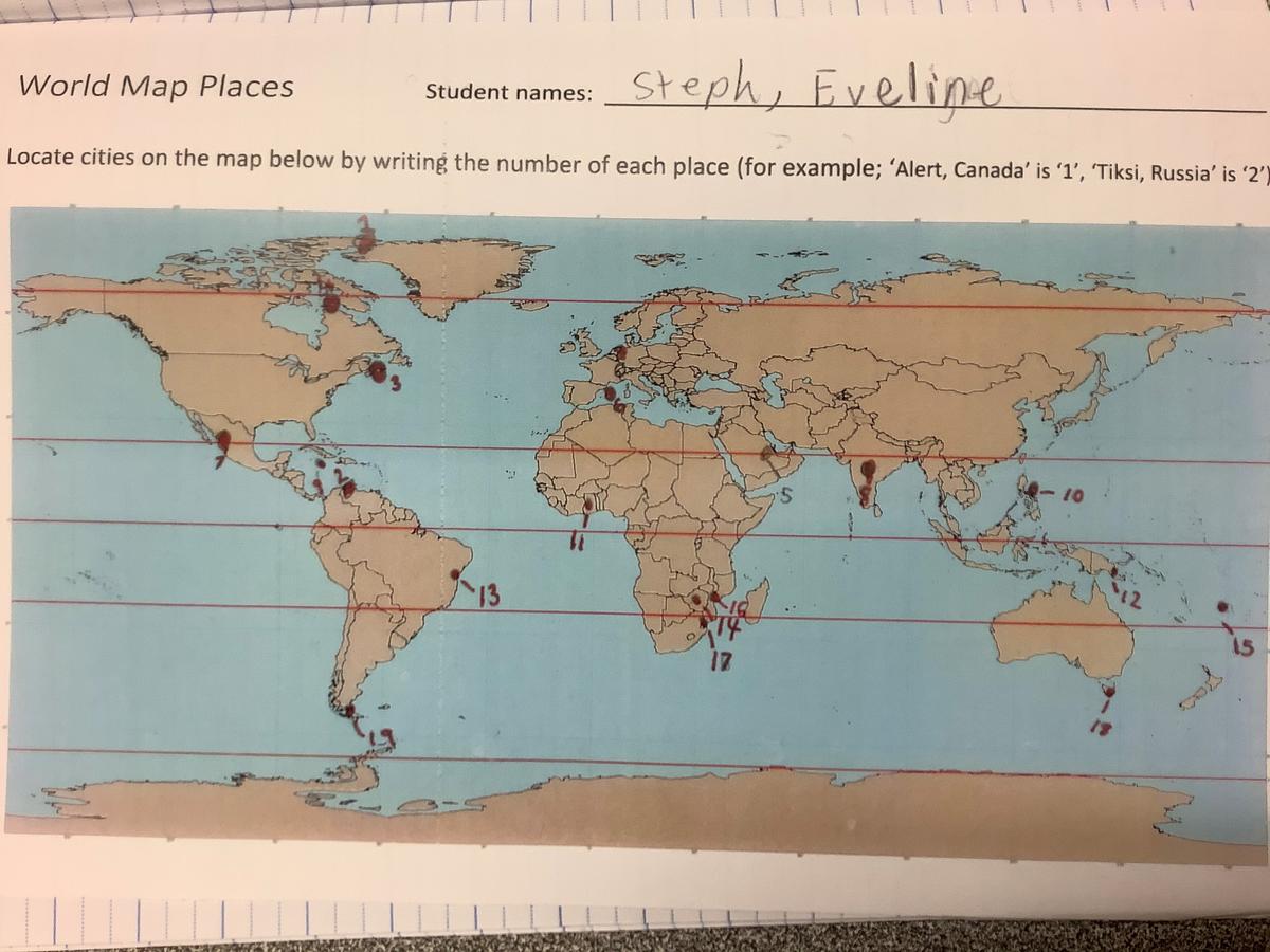
We have been intrepid explorers in our Integrated Studies this semester. The 3s and 4s have been learning how to navigate the globe using longitude and latitude. We have also been getting to know how the globe is divided into hemispheres by the equator!
We have practised using maps to collect data about location and used this data to help us answer questions like:
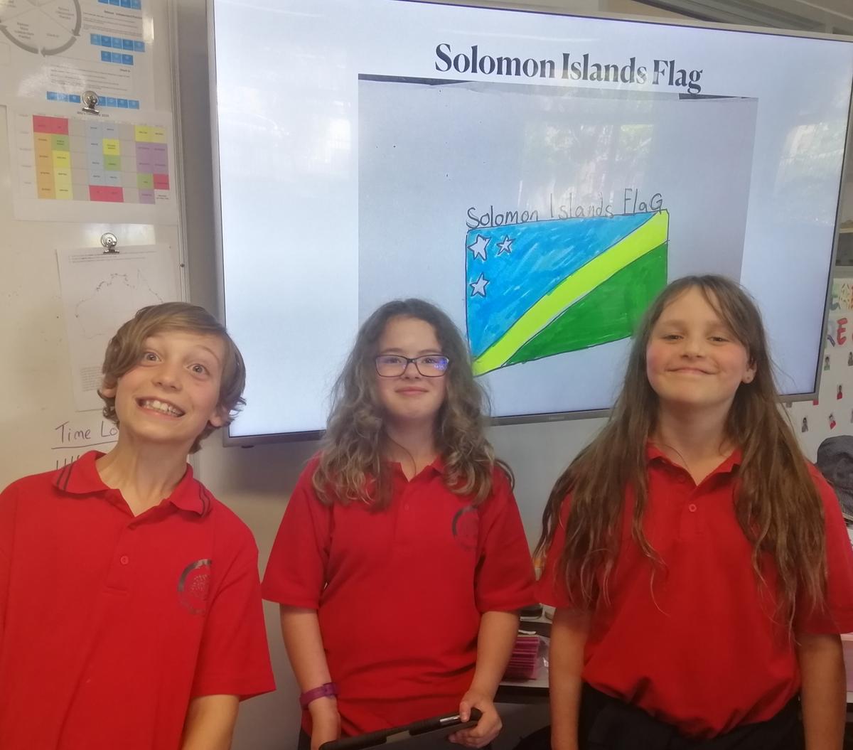
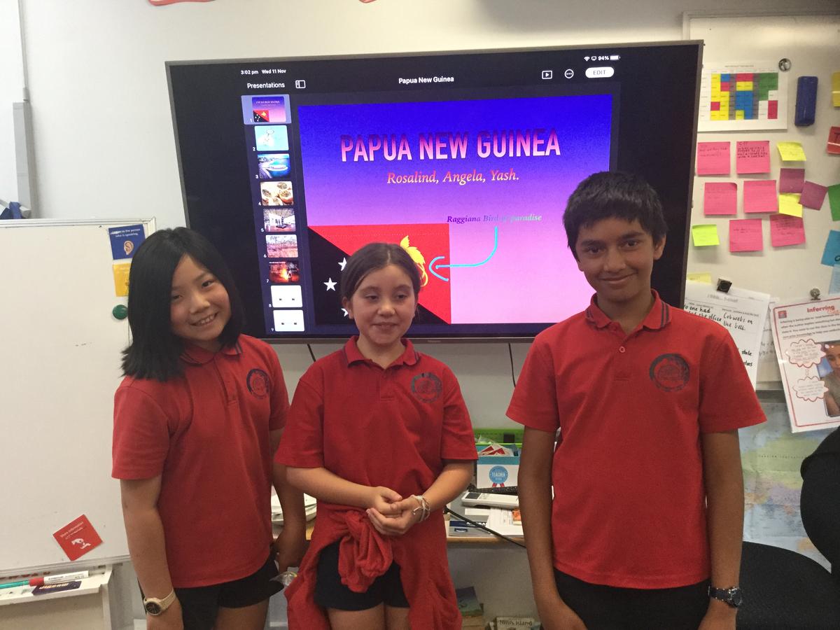
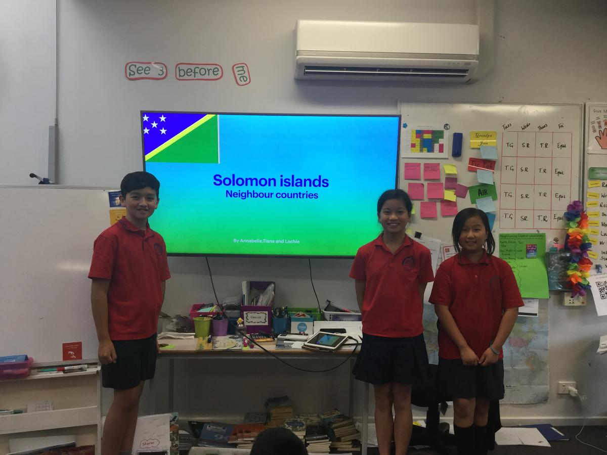
We have also been investigating the different locations, attributes and traditions of Australia’s neighbouring countries. Students have been sharing roles and responsibilities in small inquiry groups to research a nation and make a Keynote presentation about it to share with their class.
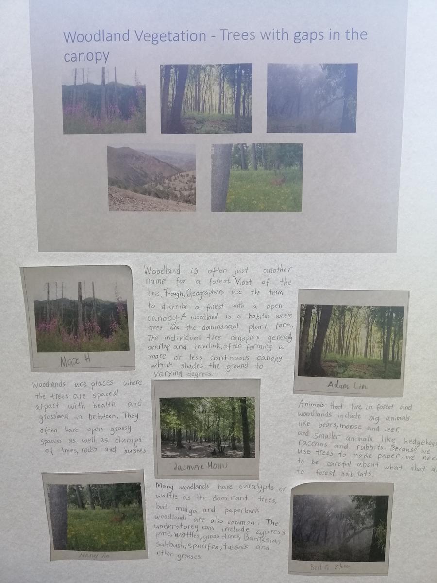
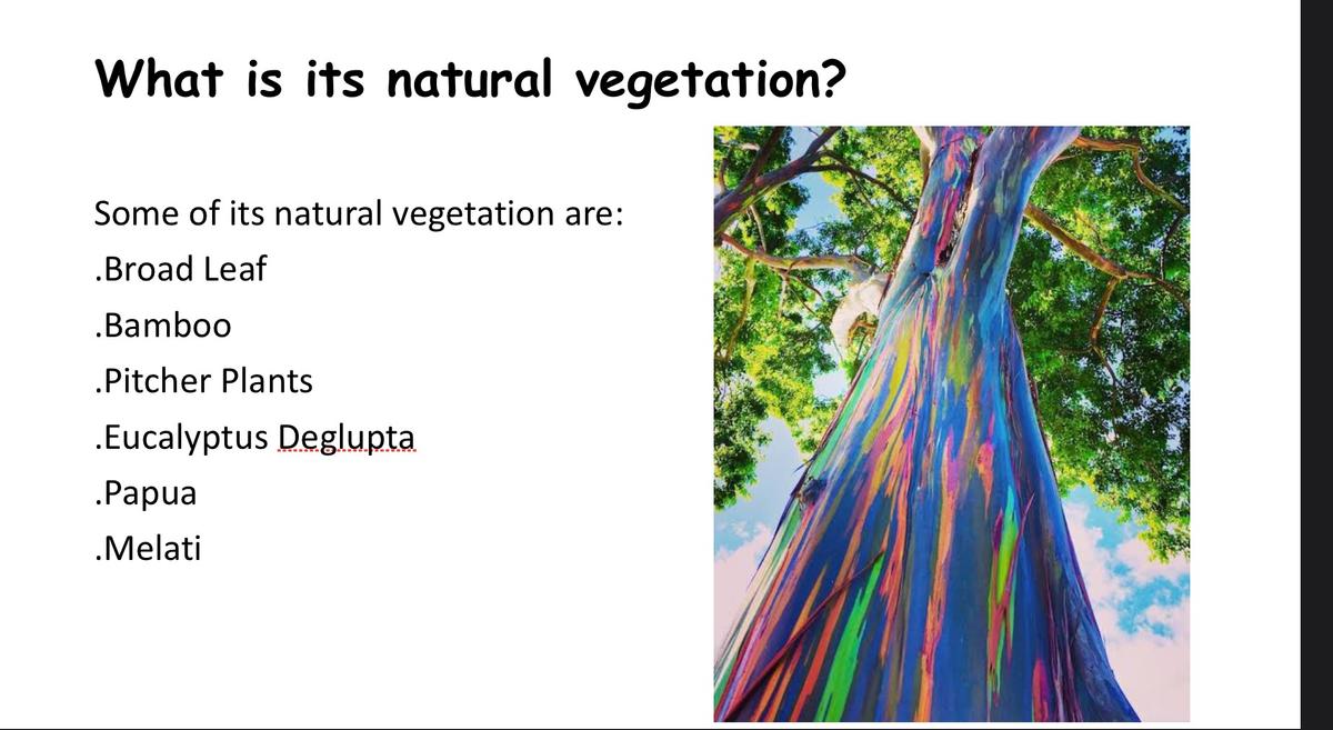
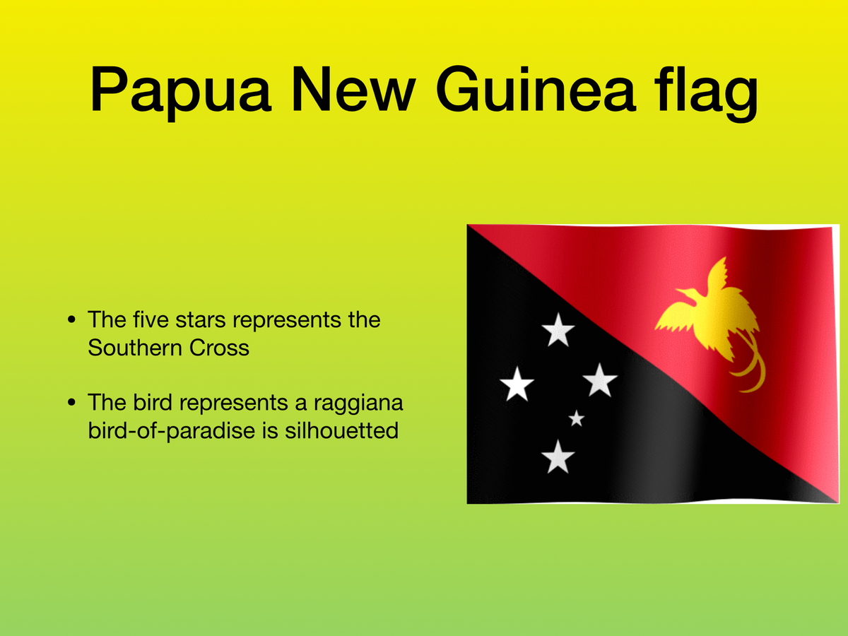
Extending on their research skills, students are making inquiries into the natural features, vegetation, cultural sites, traditional celebrations, landmarks, flags, coats of arms, and local cuisines of their allocated nations. Furthermore, they are using Google Earth to demonstrate their understanding of where their chosen country sits on the globe in relation to Australia.
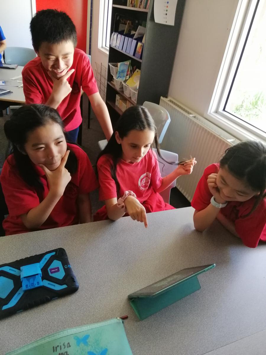
Students have really been enjoying this opportunity to collaborate in teams, and are understandably proud of their resulting presentations. Well done team 3/4! You are such clever explorers!!