Year Two
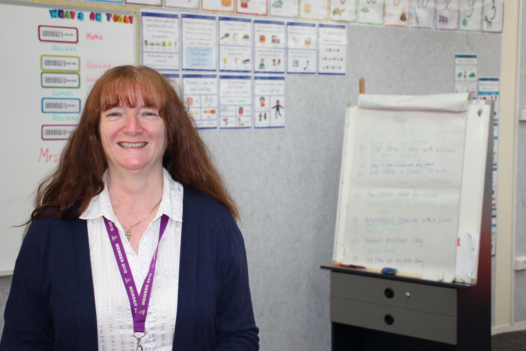
Communicating with the Year Two Team
We look forward to partnering with you in 2020, and welcome your input:
Julie Hall (Class 2A) Julie.Hall@education.vic.gov.au
Stacey Bowles (Class 2B) Stacey.Bowles@education.vic.gov.au
Julie Hall

Stacey Bowles
Julie Hall
Stacey Bowles
An Overview of our Learning
Please see below an overview of our Inquiry Learning for Term Three.
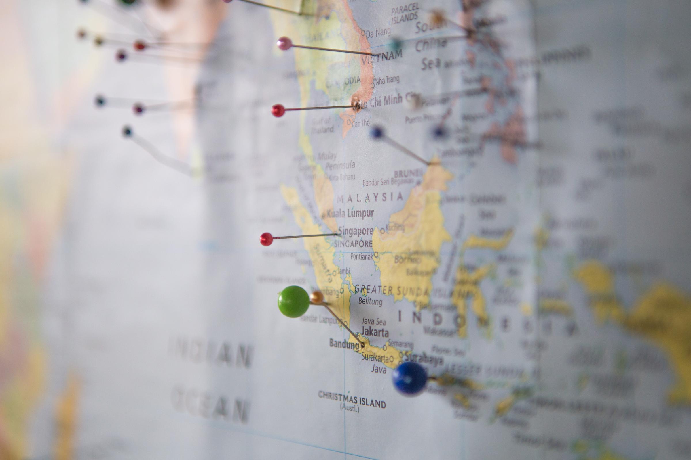
Unit Title: Maps & My Community Through Line: Place Learning Area/s: Geography See also: Mathematics – Location & Transformation |
Content: Geography Content Descriptors – Geographical Knowledge Places and our connections to them
Geography Content Descriptors – Geographical Concepts and Skills Place, space and interconnection
Data and information
Mathematics Content Descriptors – Location and Transformation
Achievement Standards: By the end of Level 2:
Geography
Mathematics
|
Unit Title: Maps & My Community Through Line: Place |
Themes: Students explore the geography beyond their home and school environments to identify and describe the features of places at a local community scale. They explore activities in the local place and reasons for their location. Students investigate the representation of local places and their features through maps and models. They begin to describe and explain location and distance using geographical terms. Students begin to explore Aboriginal and Torres Strait Islander Country/Place on which the school is located and the ways in which they maintain special connections to particular Country/Place |
Questions: Where is our place on Earth? What do we see in our local community? What parts of our community are natural, or man-made? How is our environment different to other places in the world? What words can we use to describe location and distance? Why are some places special to certain people? What do we know about the Aboriginal and Torres Straight Islander People’s Country/Place on which the school is located?
Key Understandings: The features of places within the local community. The use of geographical terms to explain location and distance. Ho simple plans, labeled maps and globes can represent familiar geographical places. Aboriginal and Torres Straight Islander People’s Country/Place on which the school is located. Why geographical places are special and important to people. |