
SCHOOL NEWS
CUBA MUSIC TOUR
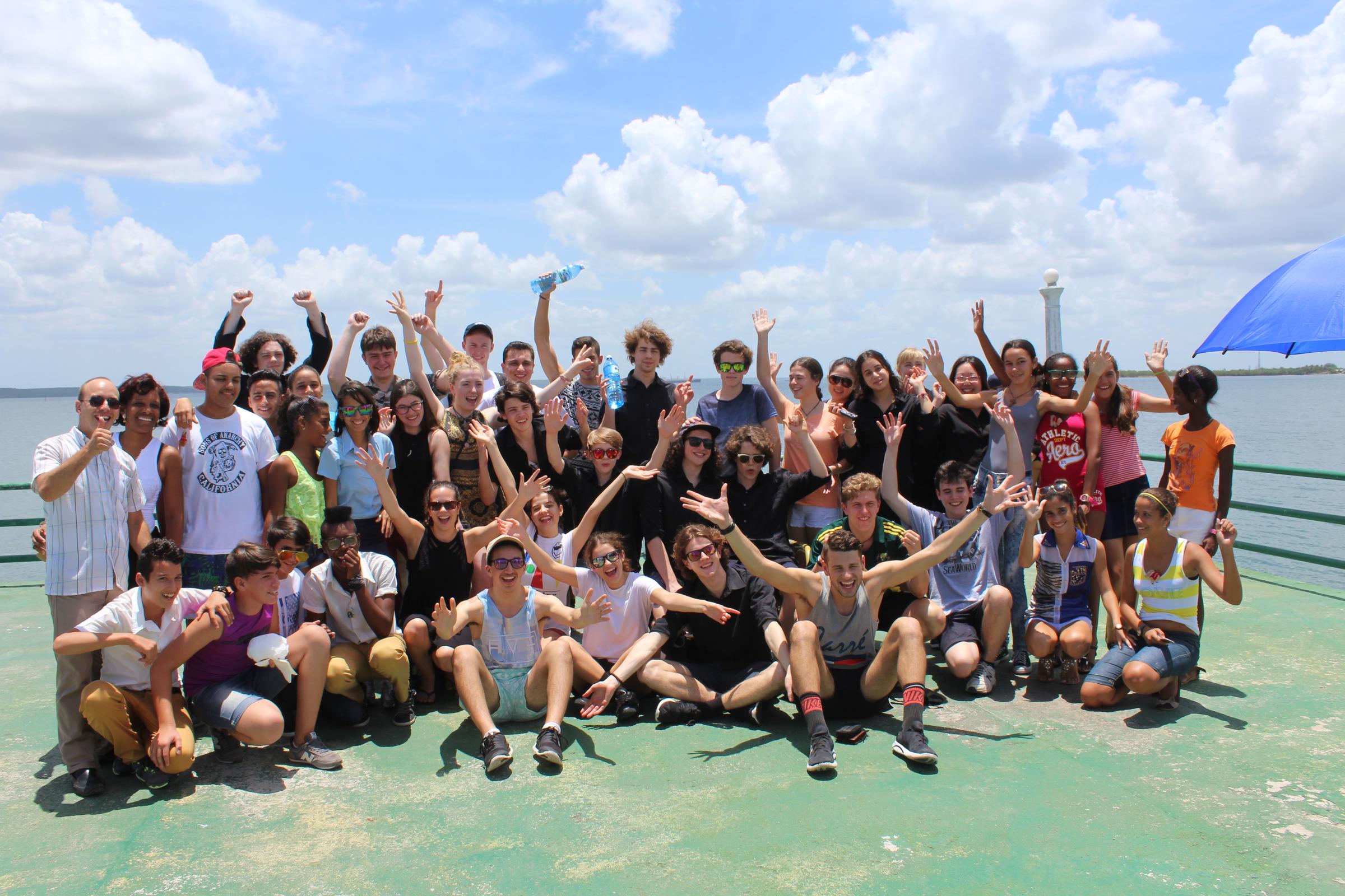
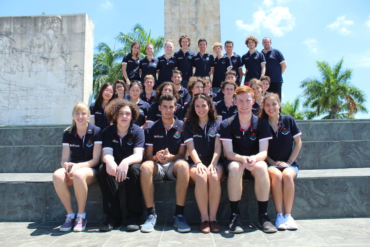
Setting off on Monday 20 June, the excited Senior Stage Band left the freezing weather in Melbourne and set off, where we were greeted by warm, sunny weather of Cuba.
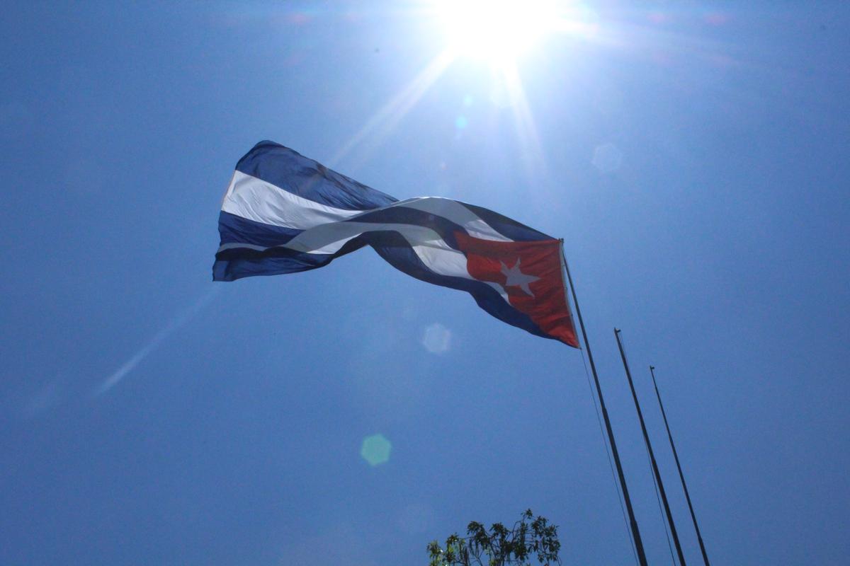
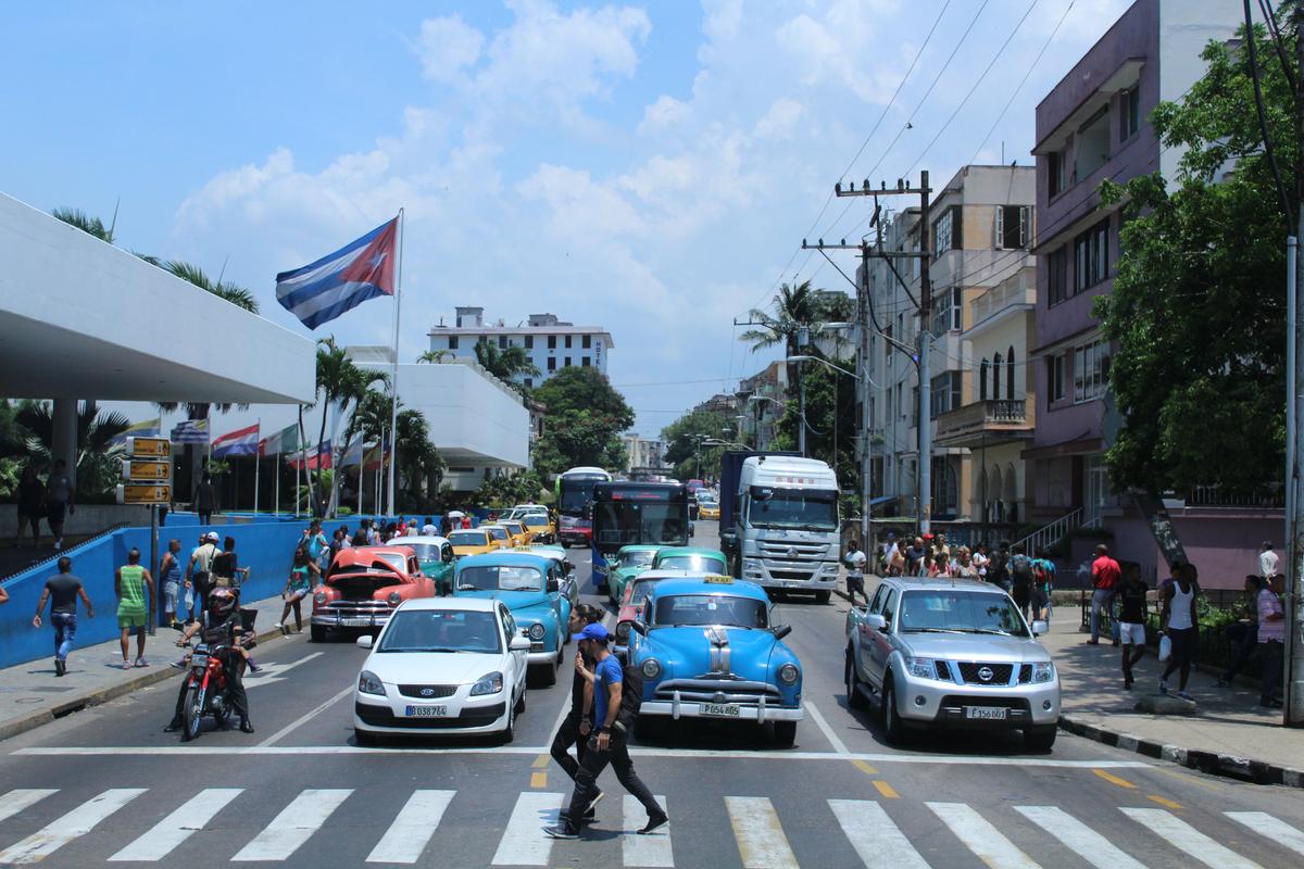
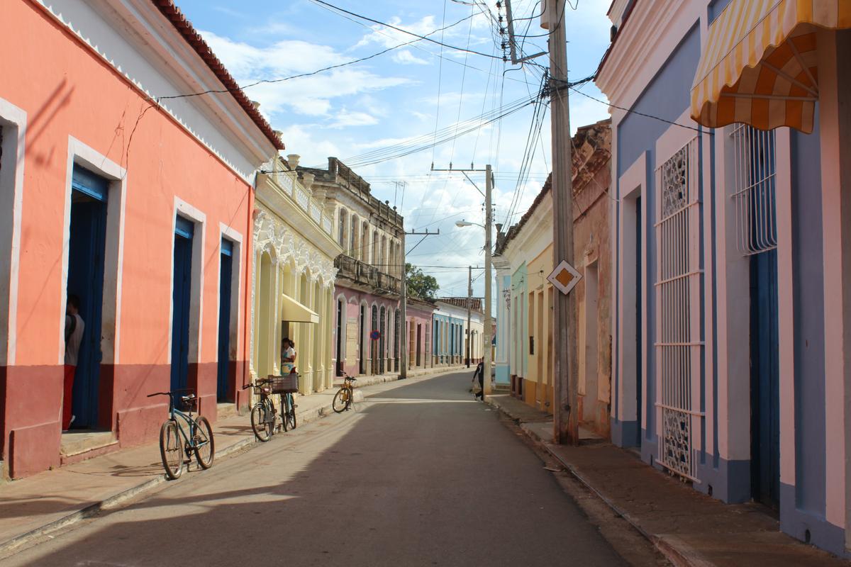
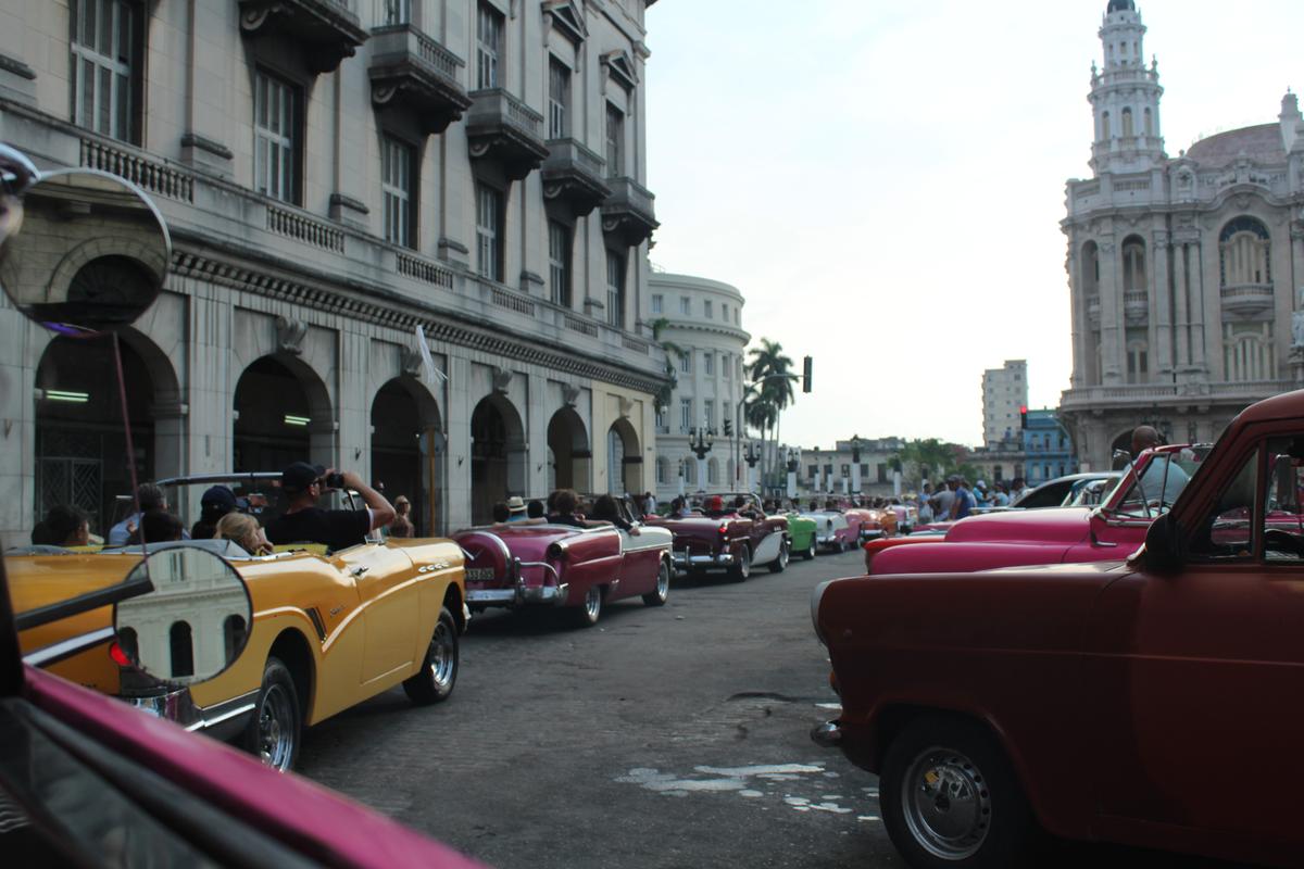
The trip kicked off in Old Havana where we were taught about the culture and history of Cuba by Mario the guide and Louis the bus driver. Walking through the town was almost like stepping back into the 1950s, as many buildings were colourfully painted, setting the scene alongside dozens of beautiful vintage cars driving down the streets.
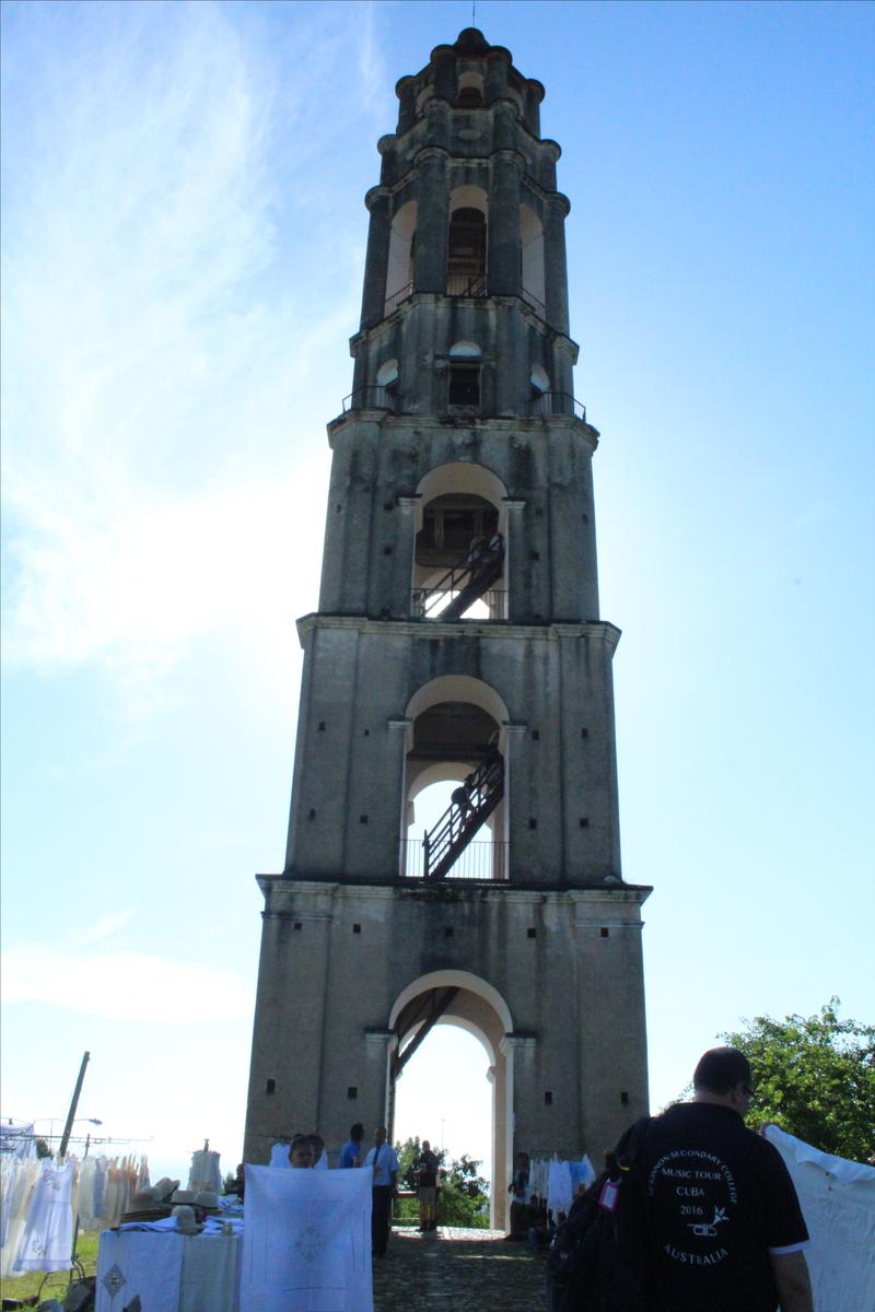

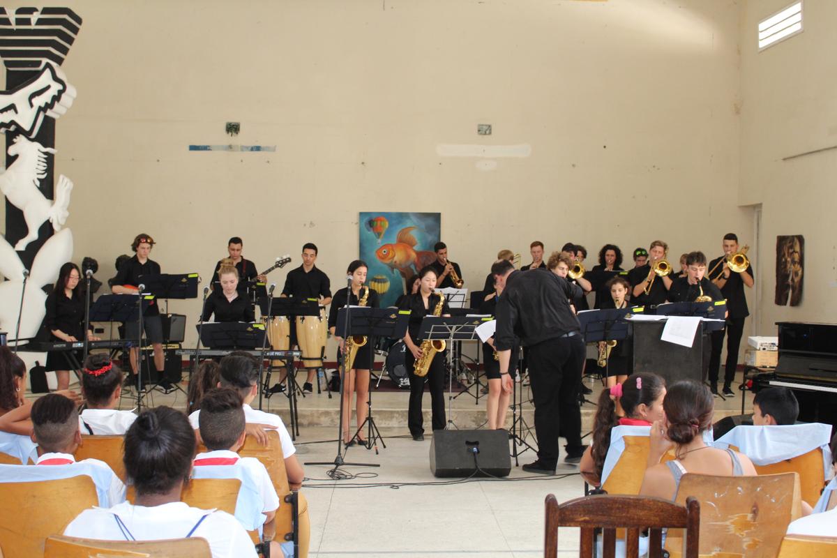
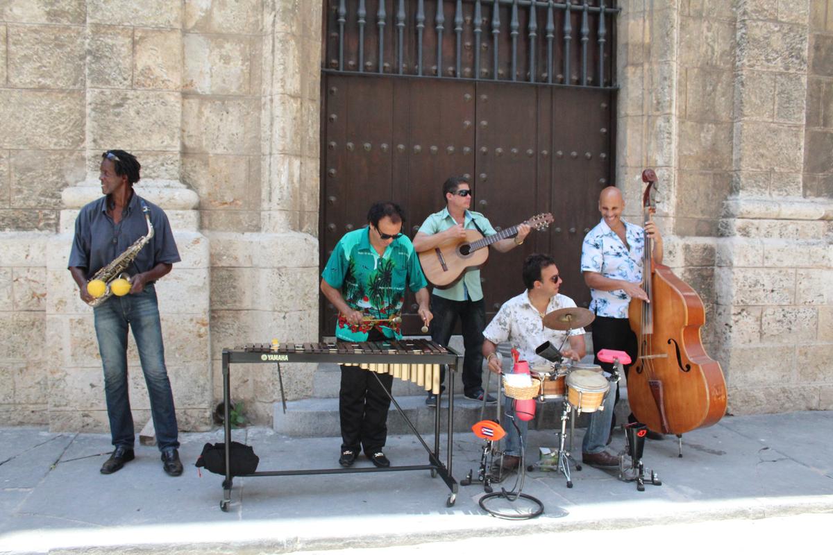
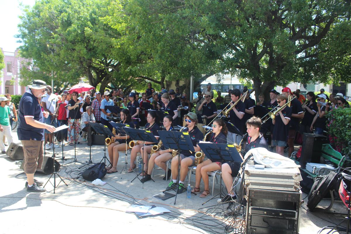
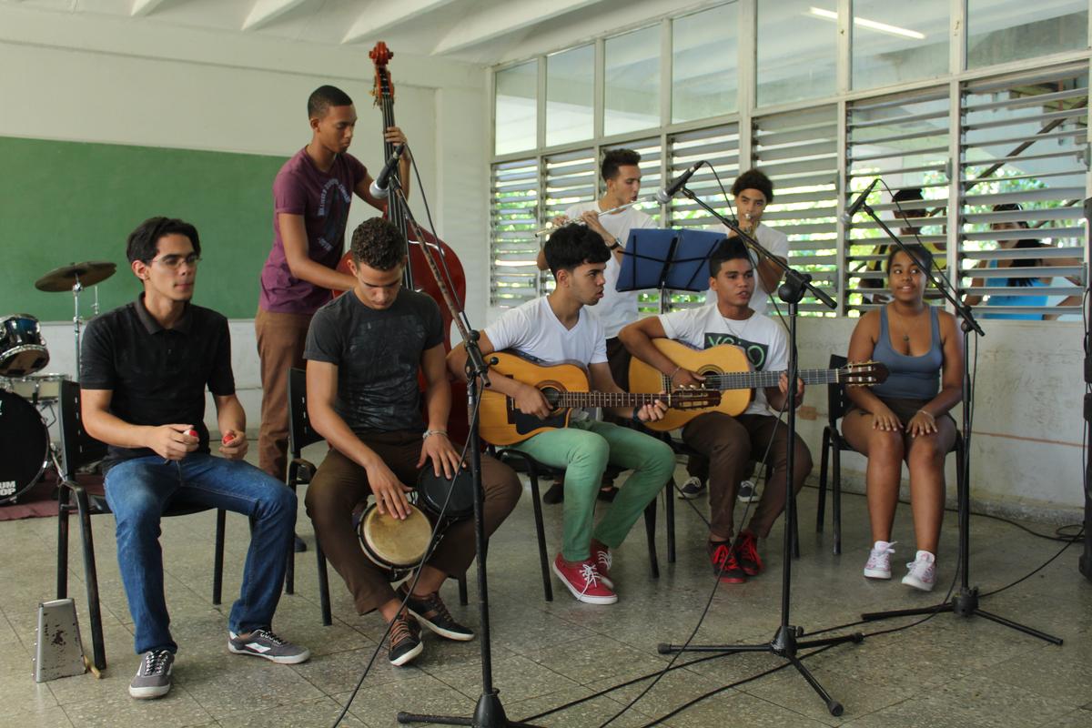
Having taken a day to adjust, our group was thrown straight into a week of performances. Packing bags and cases on the bus, the band set off for other major cities around Cuba: Cienfuegos, Trinidad, the coast island Cayos Las Brujas, Santa Clara and Remedios. As we travelled, we performed with local musicians at their schools, art galleries and town squares. Repertoire included a variety of instrumental arrangements and vocal charts varying from lively Latin beats to exciting funks.
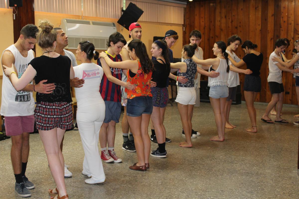
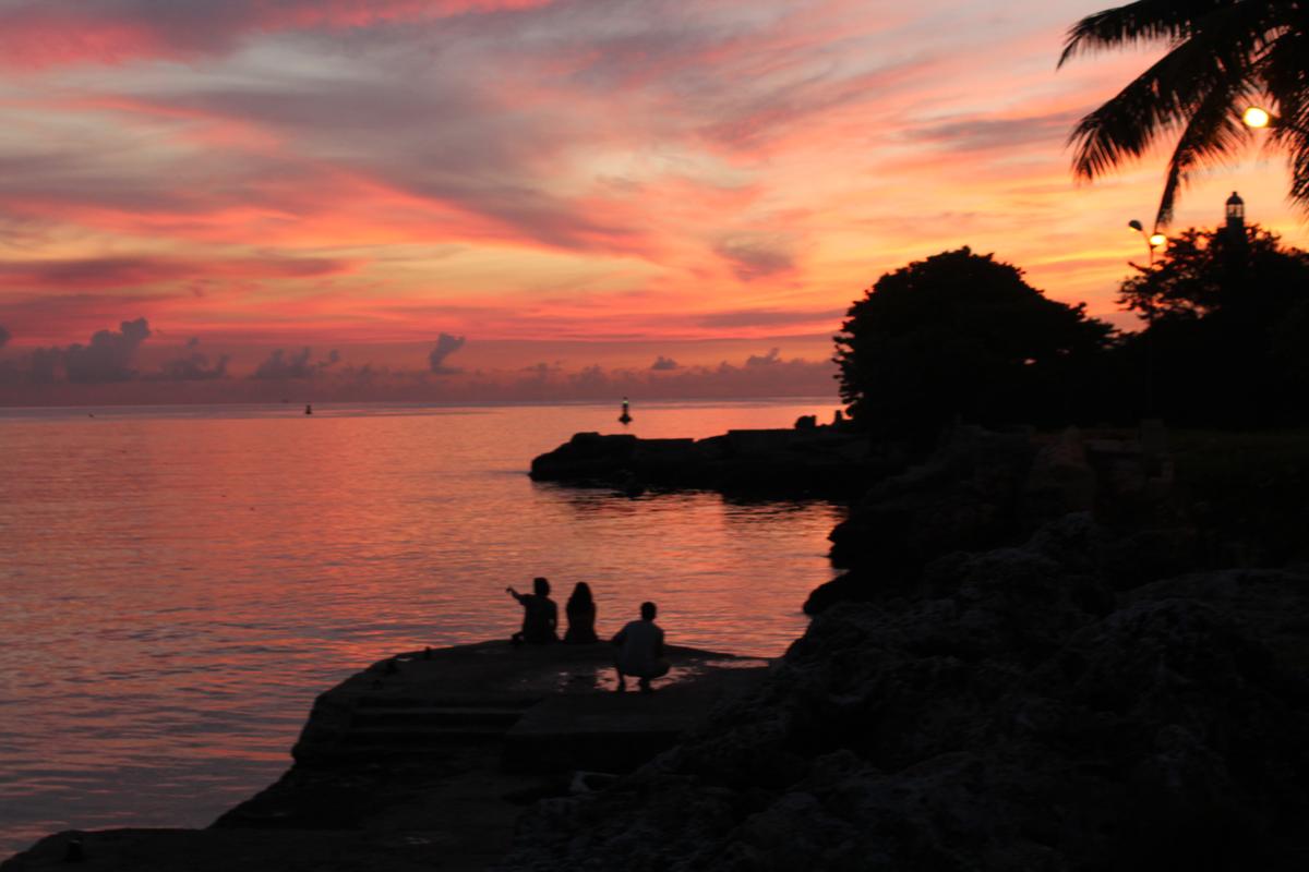
The tour also provided an opportunity to learn about Cuba. Whether we were taking a class in salsa, haggling with street vendors or swimming at beaches, there was always an exciting way for everyone to immerse ourselves in local culture and experiences. After two weeks, everyone had fallen in love with Cuba, whether it was the music, the culture or the enthralling history.

Unfortunately, the amazing experience had to come to end. After enjoying a final dinner with the numerous people and students we met and mingled with over the past fortnight, the group was treated to a late performance by the local Ballet to cap off the tour.
As always, a great big thanks goes out to Mr Serebrianik, Ms Pryor and Mr Kan for the fantastic effort they put into taking care of the band throughout our travels.
Nicholas Whittaker and Jessica Earls
Senior Stage Band Captains
GEOTECH
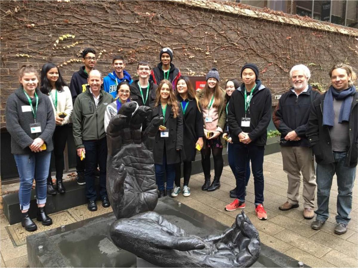
From Monday 27 June to Wednesday 29 June, we were privileged to take part in the annual GeoTECH program run by the Geography Teacher’s Association of Victoria. We were selected along with ten other students from schools across Victoria, willing to sacrifice a little of our holidays to expand our knowledge on geospatial technologies.
The GPS on our phones is an obvious example of the necessity for spatial technologies in this day and age, however over the course of this three day program we learnt how crucial spatial technologies are to our world and how significantly they impact on our ability to perform everyday tasks.
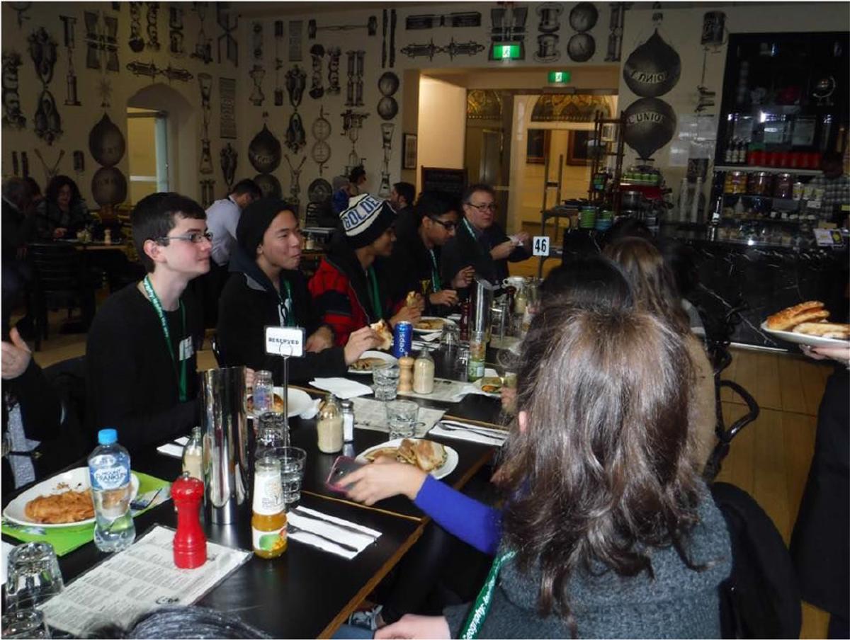
The first day of the program began with an introductory session at RMIT University where we met Steve Latham, the GTAV Education Officer and Anna Blamey, a teacher from Vermont Secondary College, for an outline of what the GeoTECH program would entail. After introducing ourselves to the group and hearing from an RMIT student about their interests and study pathways in geospatial technologies, we were fortunate enough to visit Melbourne’s Lonely Planet office where we then listened to a presentation about cartography and how maps are developed for travel brochures and booklets developed by the company. After visiting and admiring the fantastic Lonely Planet office, we were then able to indulge in a lunch provided by GTAV before moving on to our next activity.
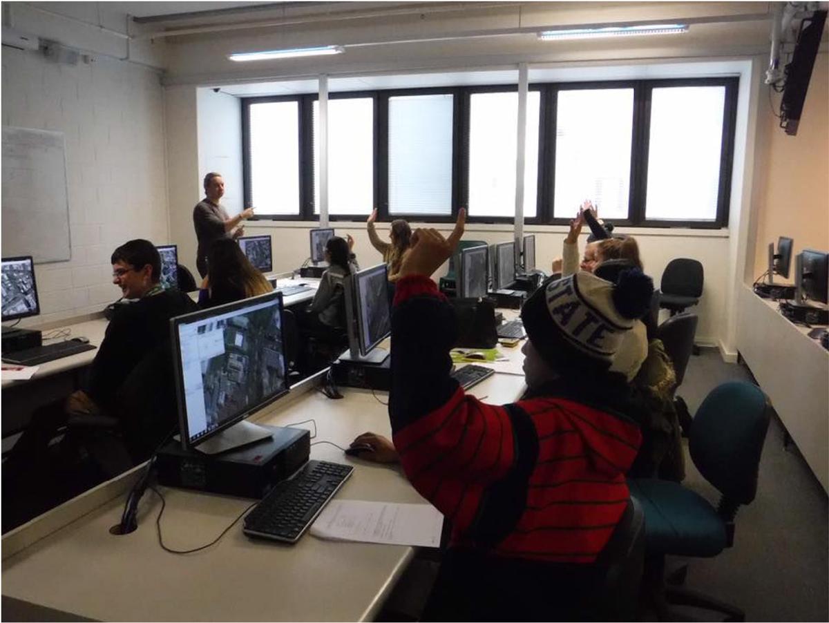

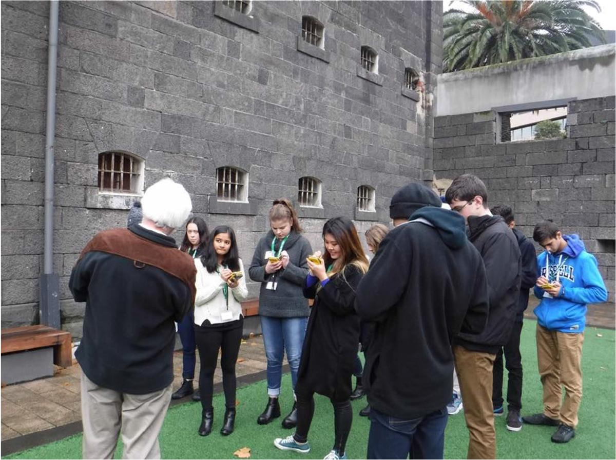
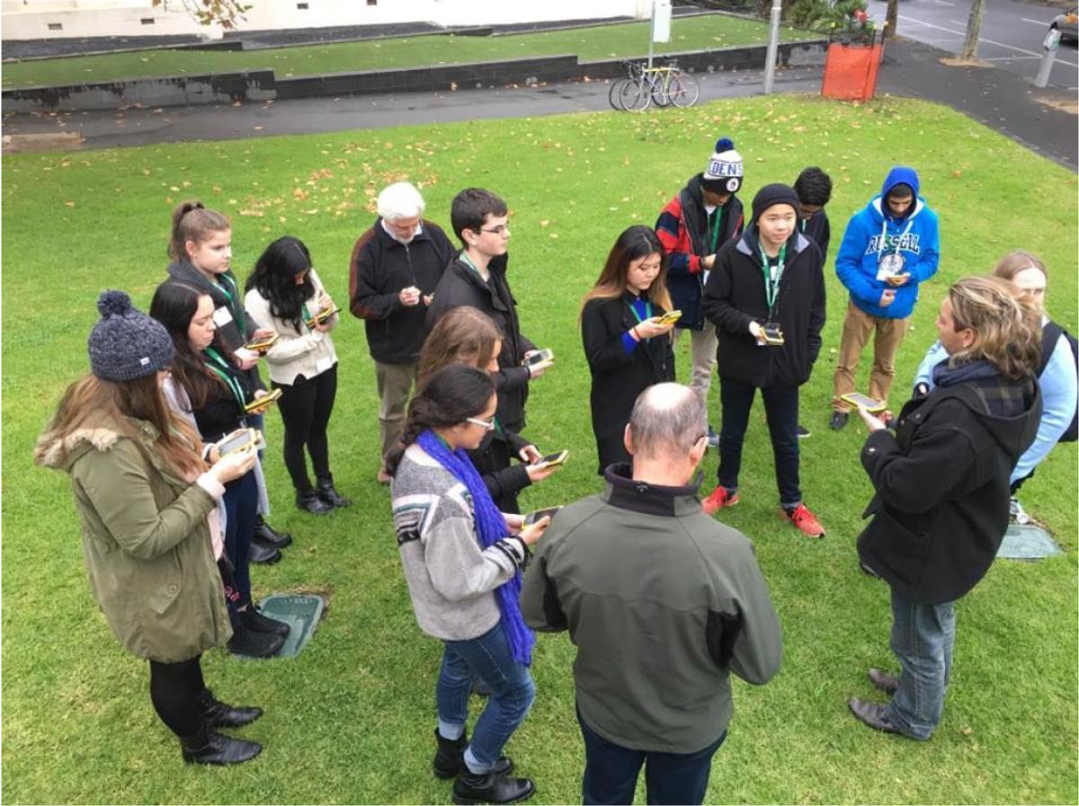
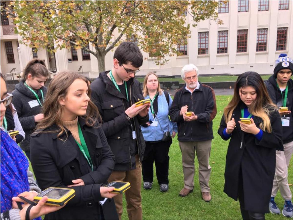
For our final part of Day 1, we had the opportunity to take part in a practical activity involving the usage of GPS devices. The task involved us walking around locations in the city where we would could then pinpoint the location of significant objects or places on the GPS, and later transfer the recorded data to a computer program that allowed us to observe the accuracy of satellites locating places and objects.
On the second day we visited Cardinia Shire. This meant over an hour’s worth of travelling on public transport, which we extended accidently by a pointless ride from Caulfield to Flinders Street Station, as we passed Caulfield on the hour’s trip to Officer Station. Luckily Steve and Anna were thoroughly prepared, distributing Freddos, Cherry ripes and Cadbury blocks throughout the entire journey. At long last, we stepped off the train, only to hop onto a bus moments later for our tour of the Shire landmarks. It was fascinating to see the early stages of regional development into what just may be a district that is not so different from Glen Eira.
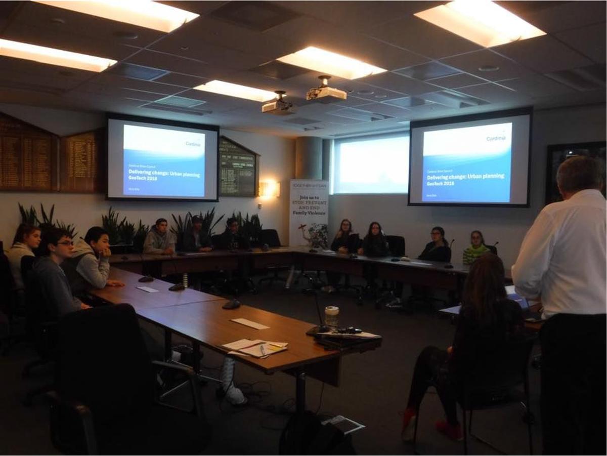
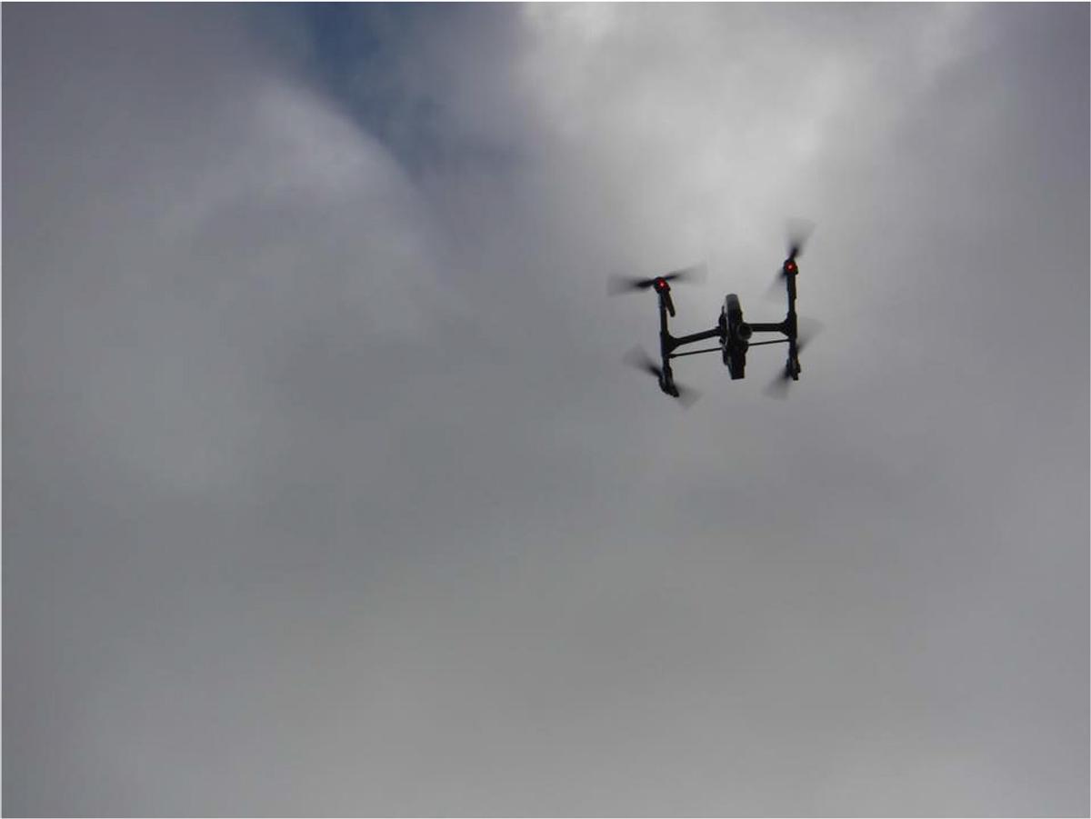
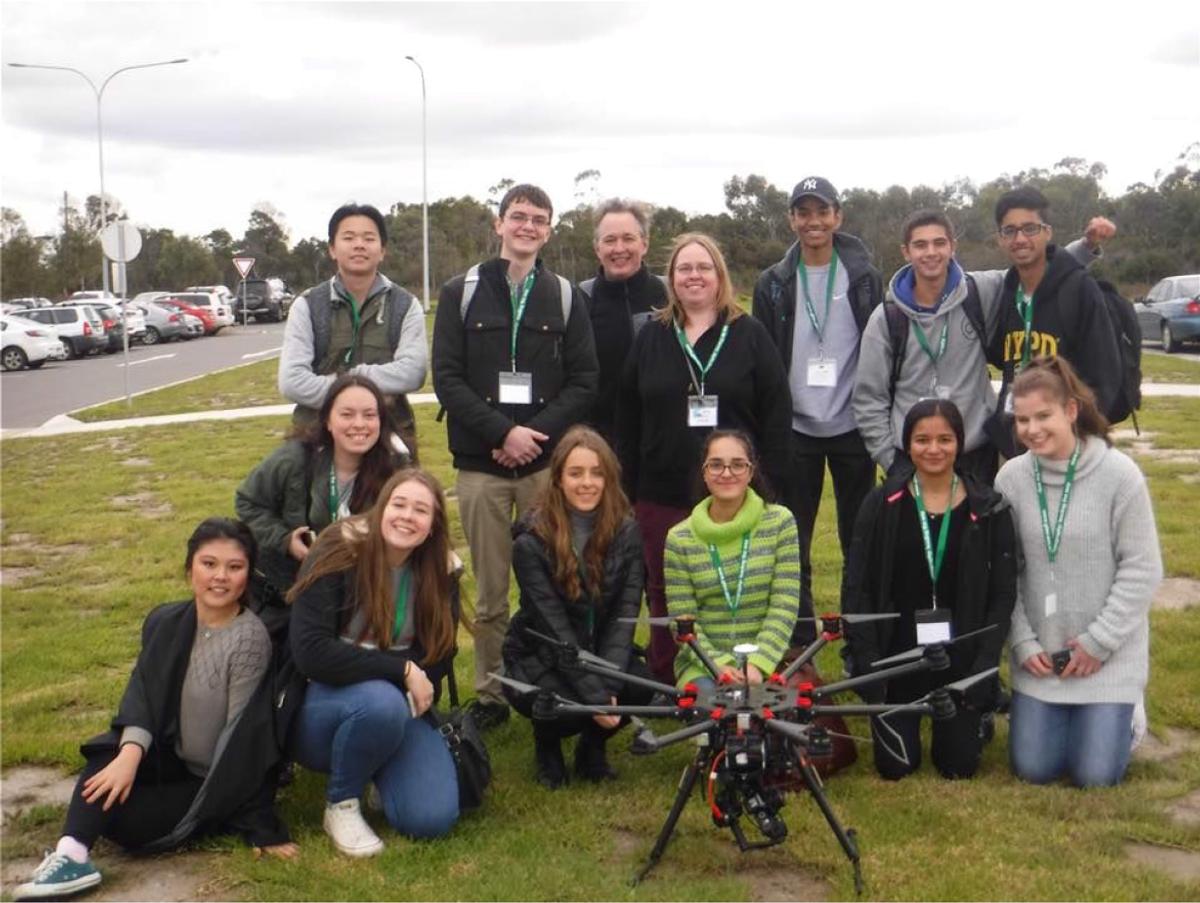

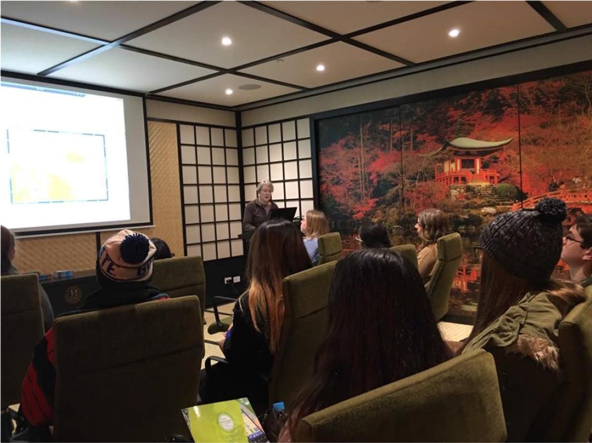
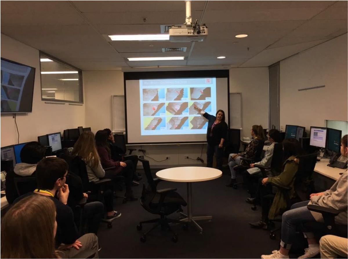
We returned to the Shire Offices to hear from some Cardinia speakers including Tamara Lowen, who discussed strategies in regards to area expansion, Megan Gill, a community planner officer, and Heather Stewart, who spoke about biodiversity locally. Her presentation was comprised of investigations on certain endangered species, such as the Emerald Star Bush and the very adorable Southern brown bandicoot. We were then treated to lunch on the office balcony, where we struggled to discern the vegetarian lunches from the non-vegetarian. As we snacked on sandwiches, wraps, muffins and cake slices, Anton van Wyck, the Director of Spatial Technologies, demonstrated how to operate a couple of costly drones. The day concluded with a building tour by Cory Bixler before we began our tedious journey home.
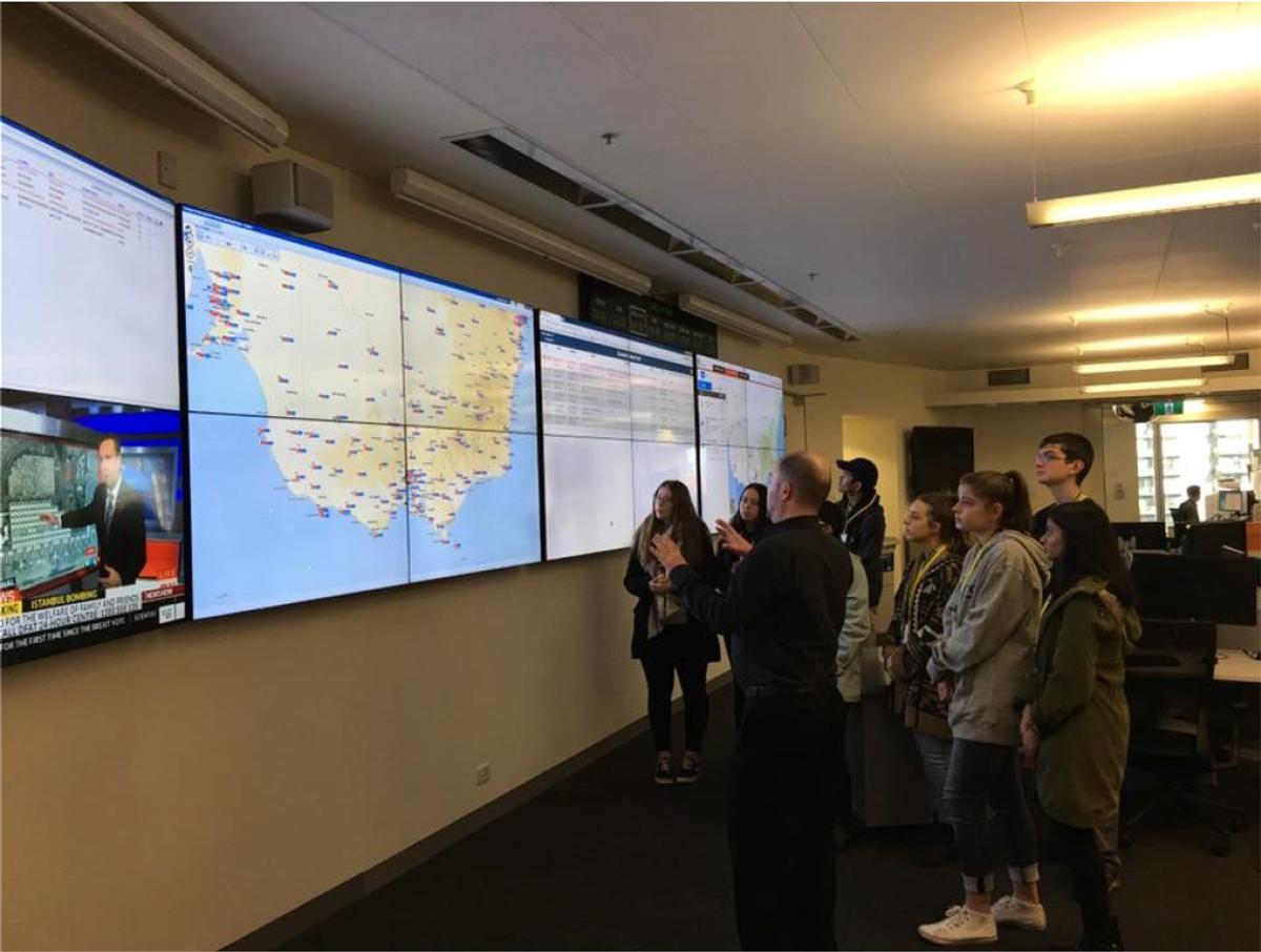
The final day of the program was held back in the city where we had the privilege of visiting the Victorian State Control Centre and GHD. At the Victorian State Control Centre we were given a site tour that provided us with an insight as to how the control centre operates during emergency situations and natural disasters.
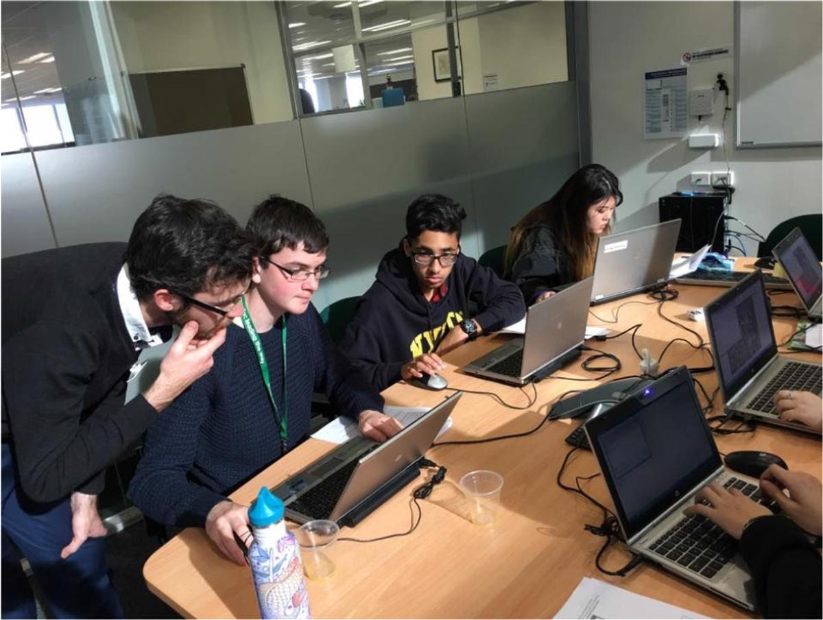
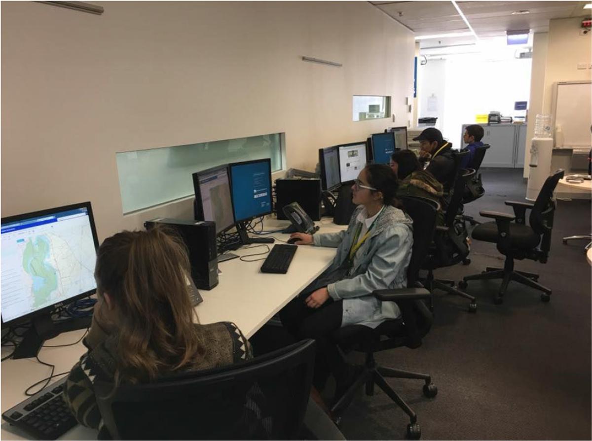
After the site tour we then met with one of the GIS professional for the CFA who demonstrated to us an e-Maps tutorial, similar to the program that the control centre uses to create maps. Then it was a short walk to GHD where we enjoyed a delicious lunch before immersing ourselves in a couple of GPS and GIS exercises.
Understanding the correlation between the space we live in, how we live and how we respect our place on Earth is very important. Learning the art behind spatial technologies is incredibly rewarding, so we encourage anyone, should you come across an opportunity like this, to take a chance and see where Geography and IT can take you.
Lucia Roohizadegan
Year 10 Student