
Yr 11 Geography - Kinglake
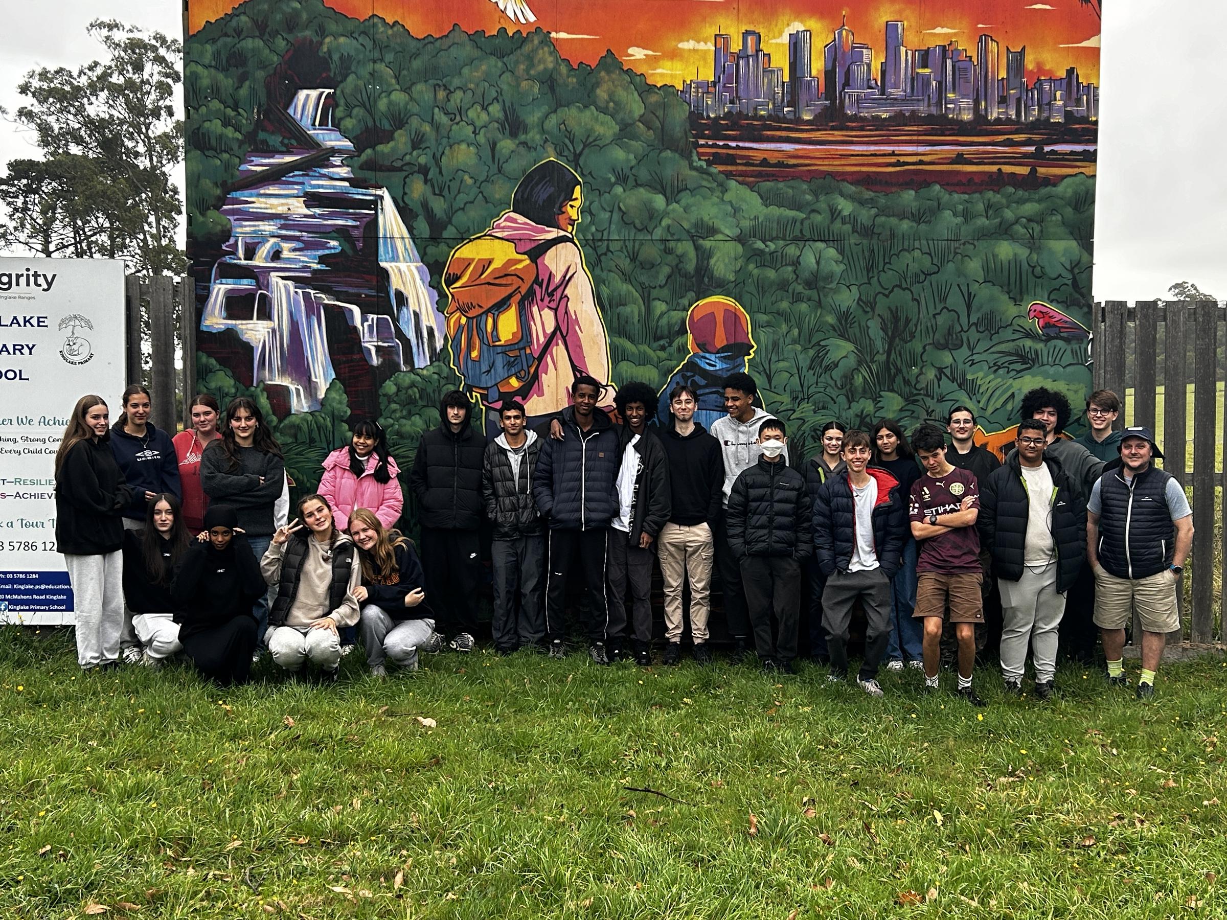
Traveling 59km north-east of the CBD, and deep into the foothills of the Murrindini and Nillumbik council, The UHS Yr 11 Geography class were excited to investigate the peaceful town of Kinglake.
Kinglake Cottage
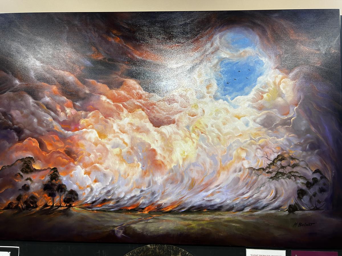
Painting of Bushfire
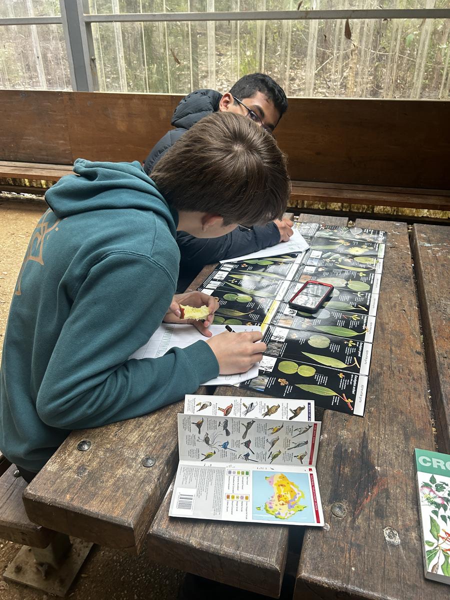
Studying Flora
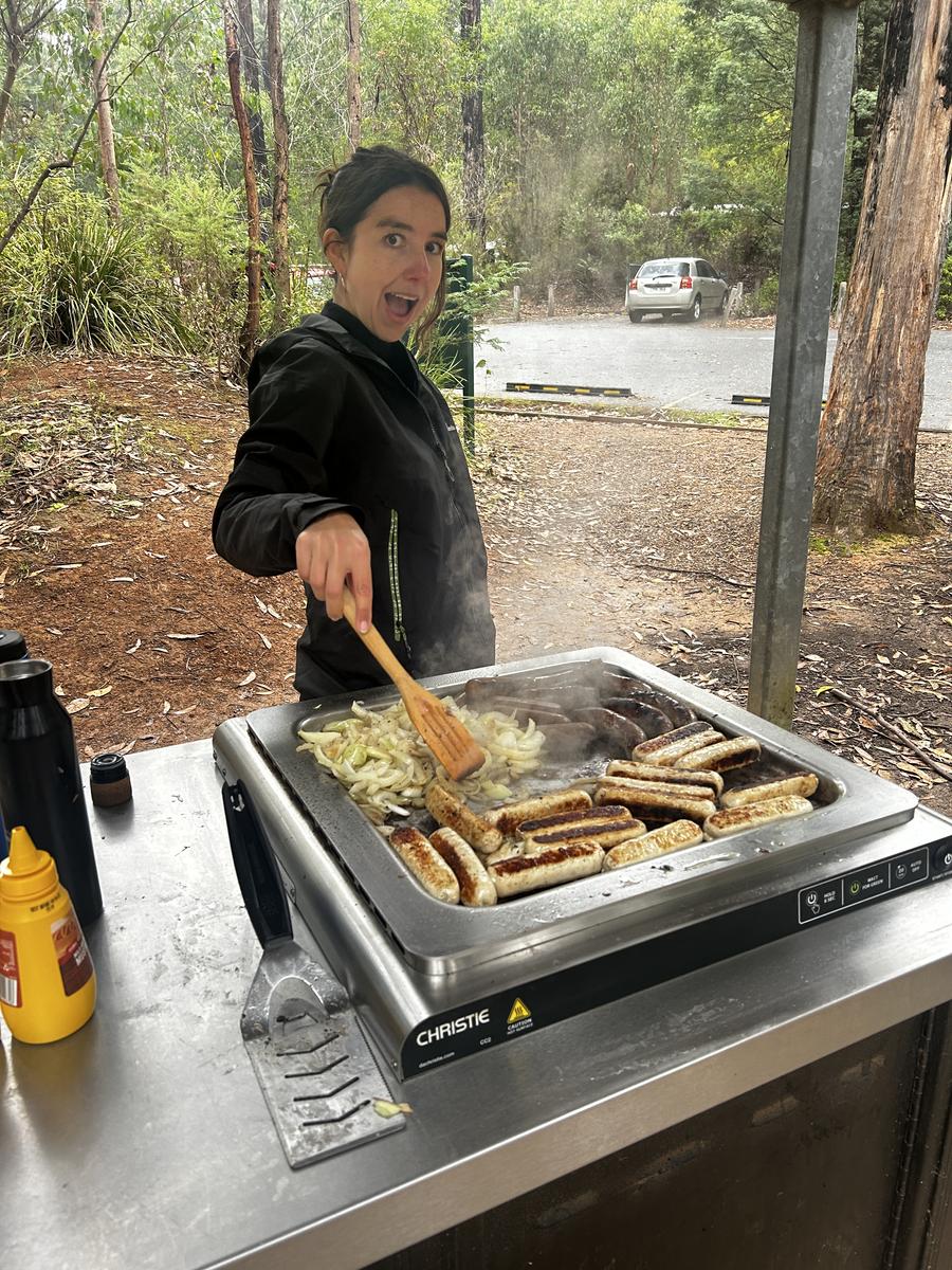
BBQ Lunch
Kinglake Cottage
Painting of Bushfire
Studying Flora
BBQ Lunch
Luscious green eucalypt forests and native plants encompassing the National Park that surrounded them was deceiving of the past destruction that had swept through almost two decades ago - The Black Saturday Bushfires.
Here, each student was set to conduct an extensive investigation into, ‘What extent did the Black Saturday bushfires impact Kinglake socially and environmentally?’
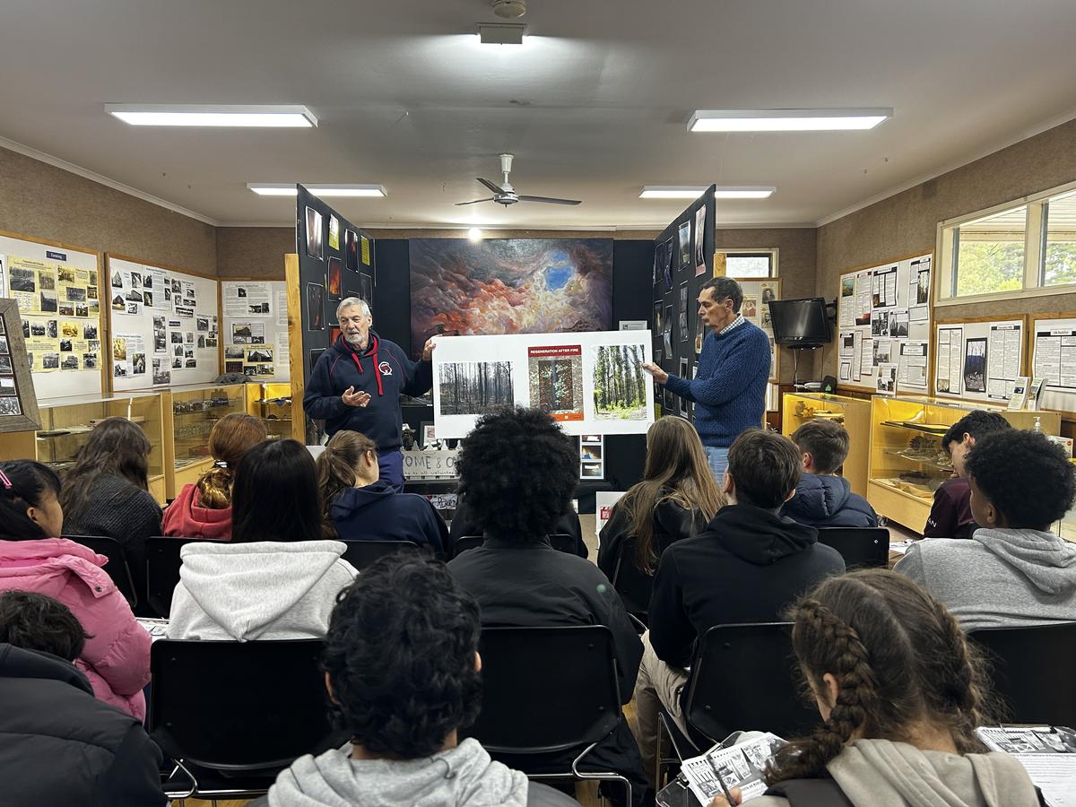
To determine this, the class used a wide range of primary and secondary sources like comparative photographs, vegetation dissects, observational sketches and expert opinions which aided them to appropriately analyse and evaluate the fires extent. By doing so, students had a great opportunity to fully immerse themselves in the investigation as they visited various sites such as Mason Falls, Mount Sugarloaf and the Heritage Centre.
Overall, the fieldwork provided a very entertaining learning experience and gave students an opportunity to apply a learning style that is not typical in the everyday classroom.
As well as this, students were able to closely observe and examine how significant and detrimental a natural disaster can have on a community’s wellbeing and witness its great resilience and adaptability.
Hamish Spark and Austin Sellick - Unit 1/2 Geography Students