Year 4/5
Important Information for Year 6 2026
The link below is now live for the students who will be in Year 6 next year to purchase their Year 6 shirts and jumpers.
https://eduthreads.com.au/collections/bittern-primary-school

Geography
We have been exploring the fascinating question of 'Why do people live where they do?' We discovered how a range of factors influence where communities are formed, including climate, access to resources, economy, culture, and technology. We examined how landscapes such as rivers, mountains, and coasts shape settlement patterns and how modern innovations now allow people to live in previously challenging environments. We also discussed how history, culture, and employment opportunities contribute to the development of towns and cities. Through maps, data, and inquiry, we developed an understanding of how people interact with their environment and the importance of balancing growth with sustainability when planning for the future.
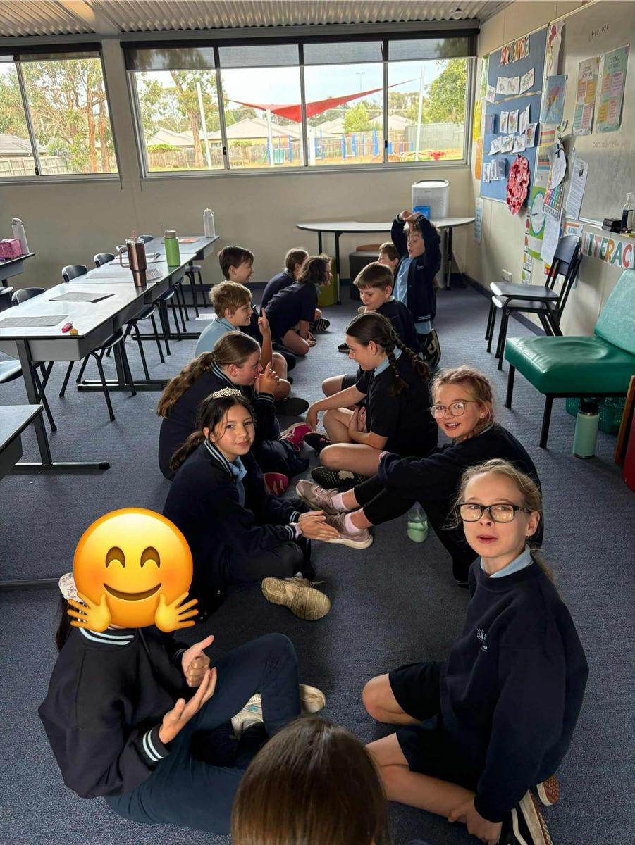
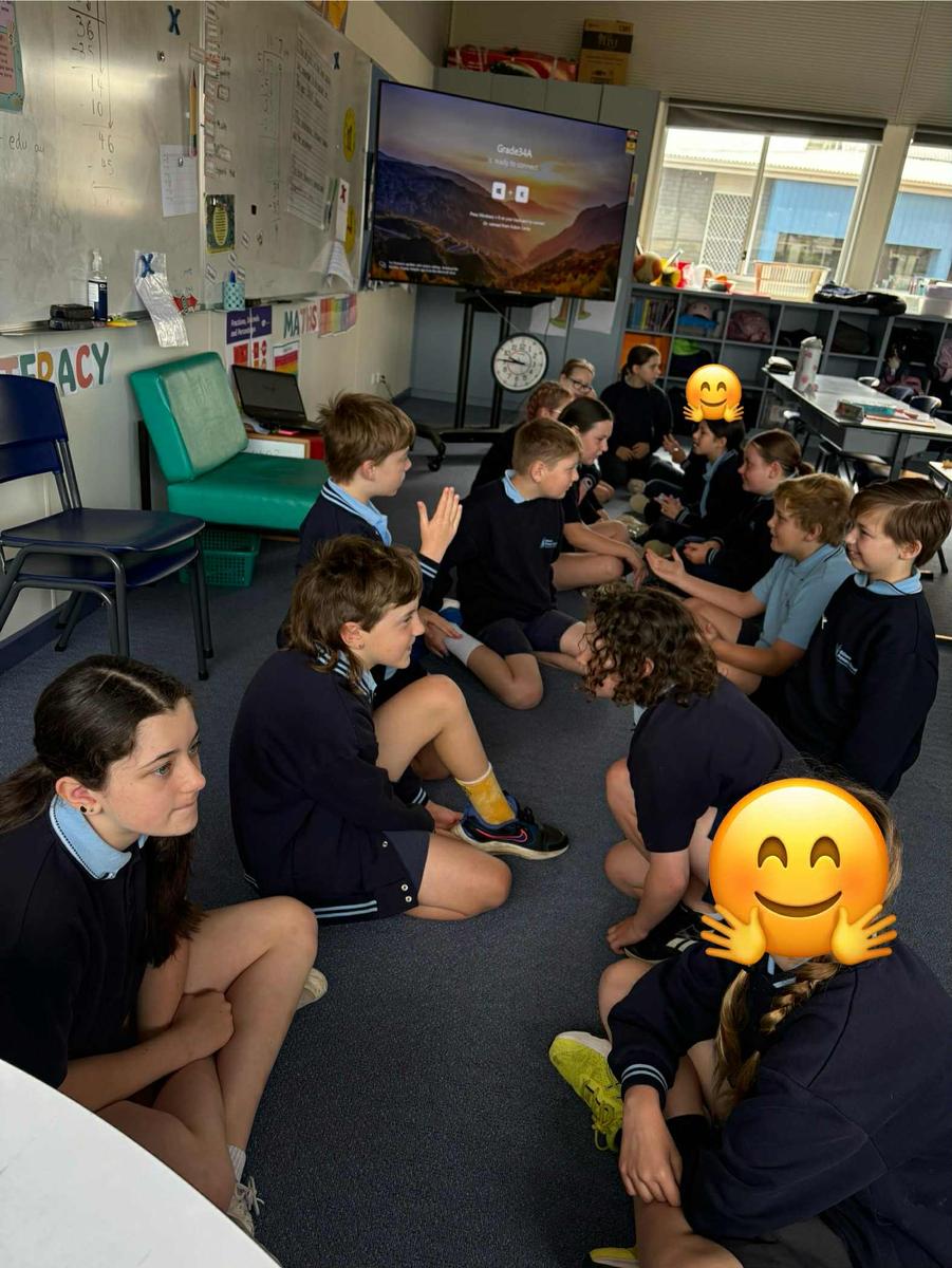
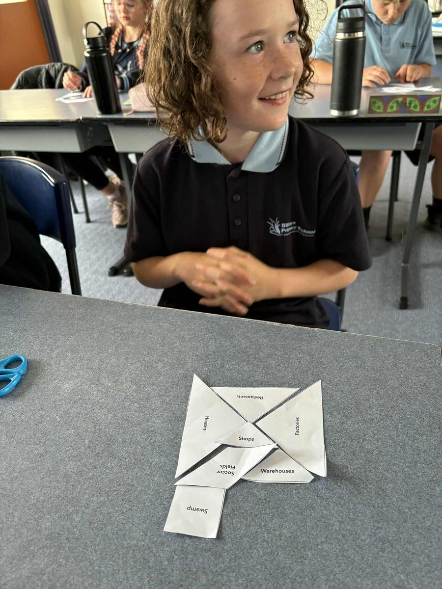
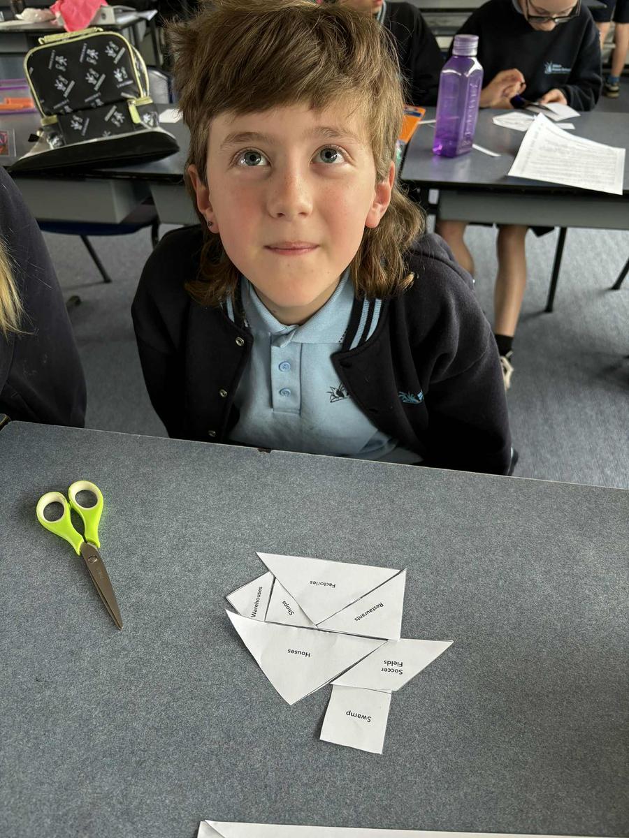
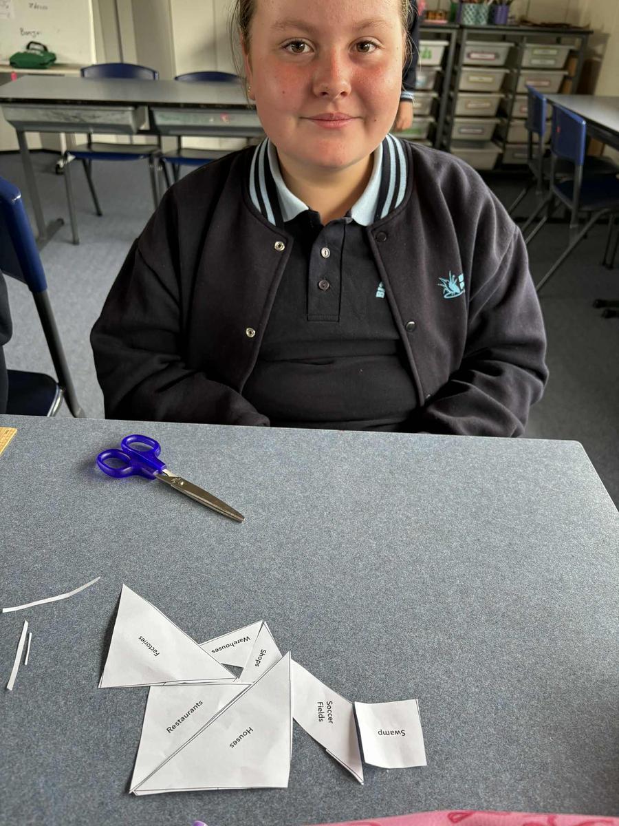
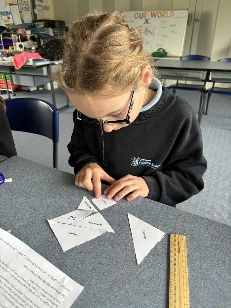
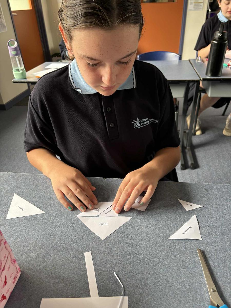
We investigated 'Who Runs Our Spaces?', exploring how different levels of government and the community work together to shape the places we live. We learned about zoning and how areas are planned for housing, businesses, parks, and farms, as well as how councils like the Mornington Peninsula Shire manage local spaces, infrastructure, and environmental risks such as bushfires and flooding. We examined the roles of state and local government, the importance of planning for sustainability, and how community voices influence decisions. Through local examples and class discussions, We developed an understanding of how thoughtful planning, teamwork, and care for the environment help create liveable and sustainable communities.
Maths
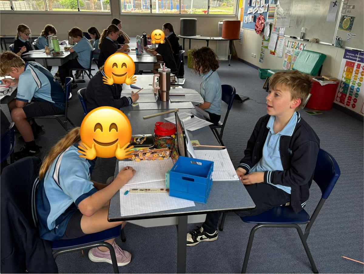
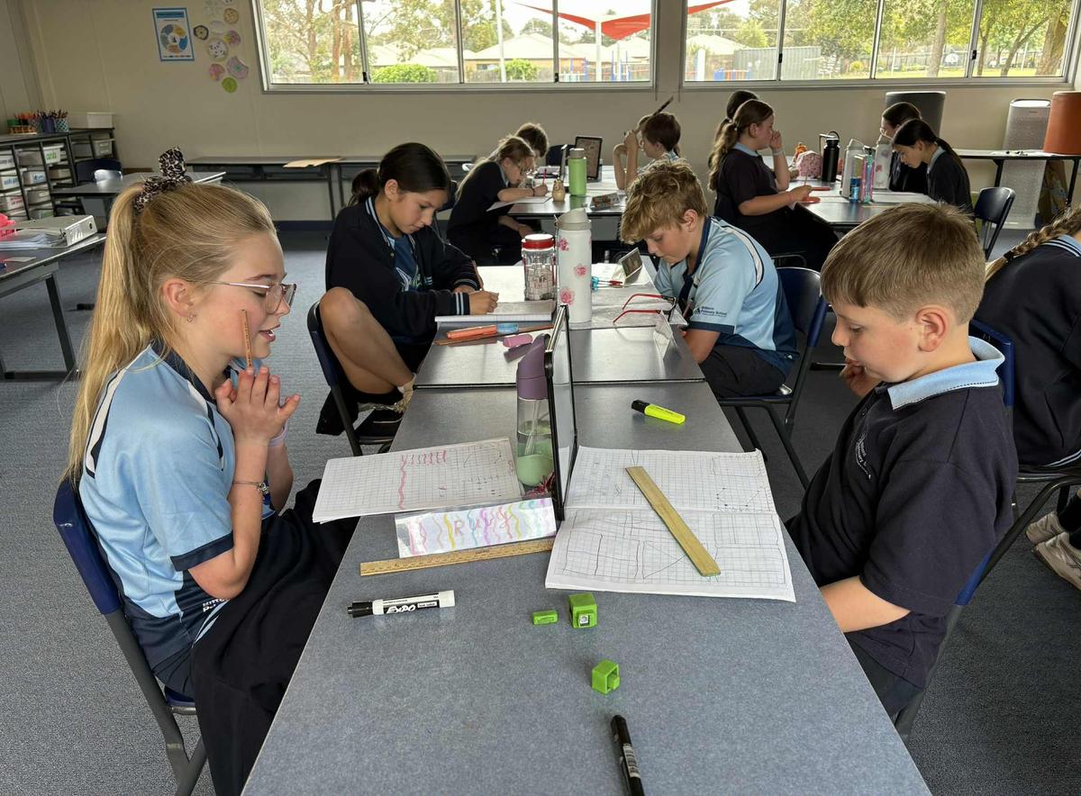
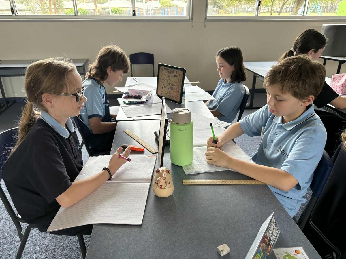
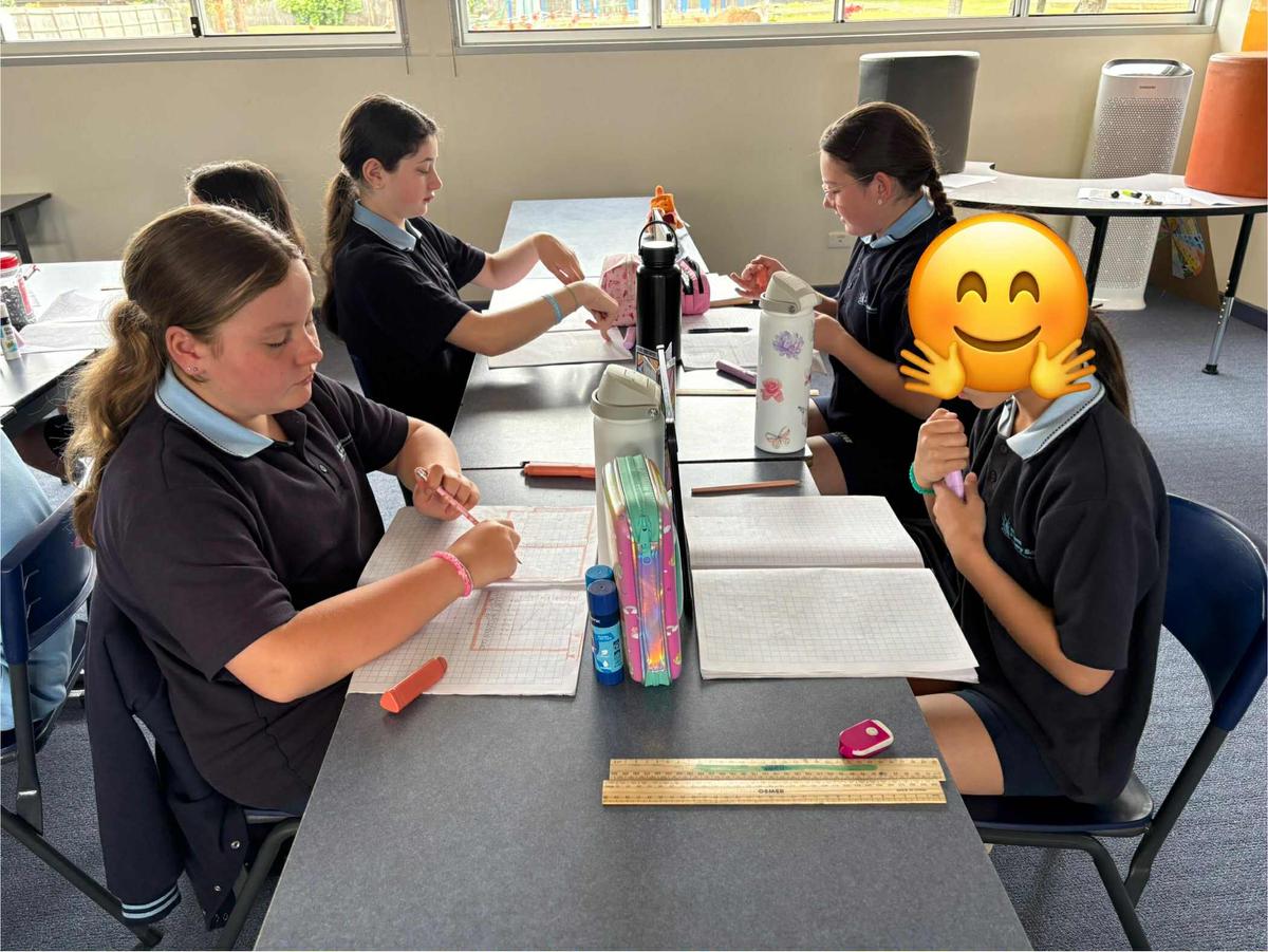
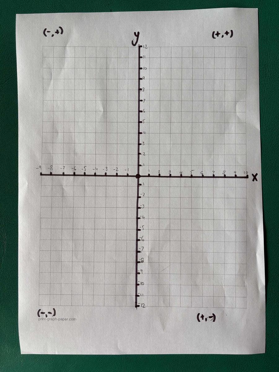
We have been exploring 'Location and Mapping' by learning how to create and interpret alpha-numeric grid references and co-ordinates on a Cartesian plane.
We started by following step-by-step instructions to locate specific points on a map. We then put our skills into action and had a lot of fun playing the game Battleships, using co-ordinant points to locate and sink our opponents ships.
We also applied our understanding to design some geometric artwork using co-ordinates. To test the accuracy of our plotting, we challenged a learning partner to follow the co-ordinates and recreate the artwork. This fun and hands-on activity helped us strengthen our spatial awareness, precision, and understanding of how maps and grids are used to represent locations.
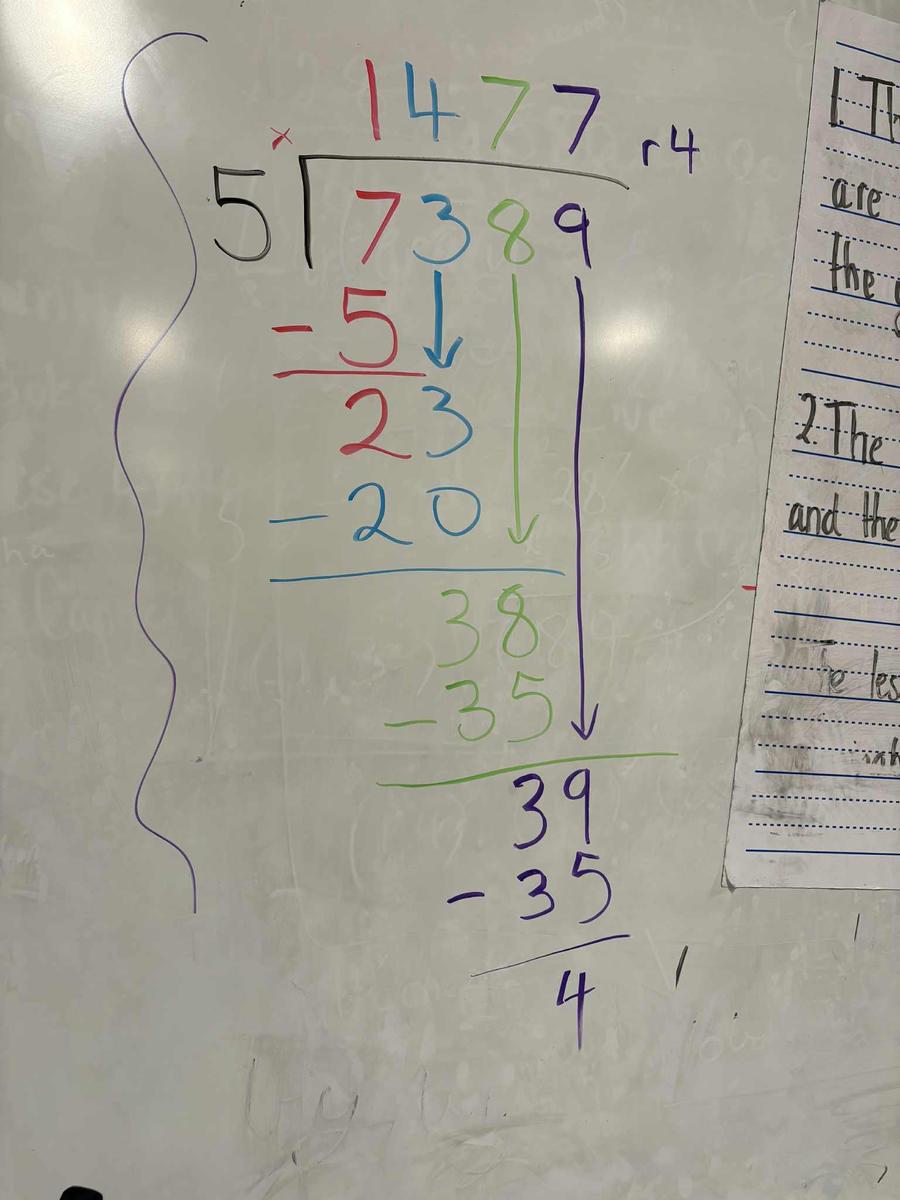
We have been working hard to master large multiplication problems and develop confidence in division using a variety of strategies. We explored different methods to solve challenging problems, building an understanding of number patterns and operations. One of the highlights was seeing those exciting 'aha!' moments when we finally understood the steps in long division and could apply them successfully. It’s been fantastic to see persistence and growing confidence in tackling more complex maths challenges!
Business and Economics
We continued our investigation the three main types of resources we use today: natural, human, and capital. Natural resources come from the environment, like water, land, and wood; human resources involve the effort and knowledge of people; and capital resources include man-made tools, buildings, and equipment that make production easier and faster.
Using examples from our own school, we identified how we rely on all three types of resources every day, from using electricity and water (natural resources), to the teachers and staff who provide their skills (human resources), and the classrooms, computers, and playgrounds (capital resources) that support our learning. It’s been fascinating to see how these resources work together to meet our needs and help our school community thrive!