Geography excursion

Fishermans Bend is Australia’s largest urban renewal project, covering approximately 480 hectares in the heart of Melbourne. It is expected that by 2050, it will be home to approximately 80,000 residents and provide employment for up to 80,000 people. The transformation of Fishermans Bend is guided by the Fishermans Bend Framework; a plan for parks, schools, roads, transport, and community facilities and services to ensure livability as the precinct grows over the next 30 years.
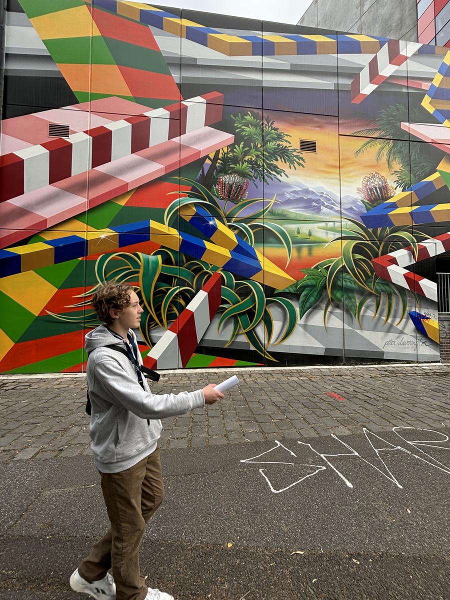
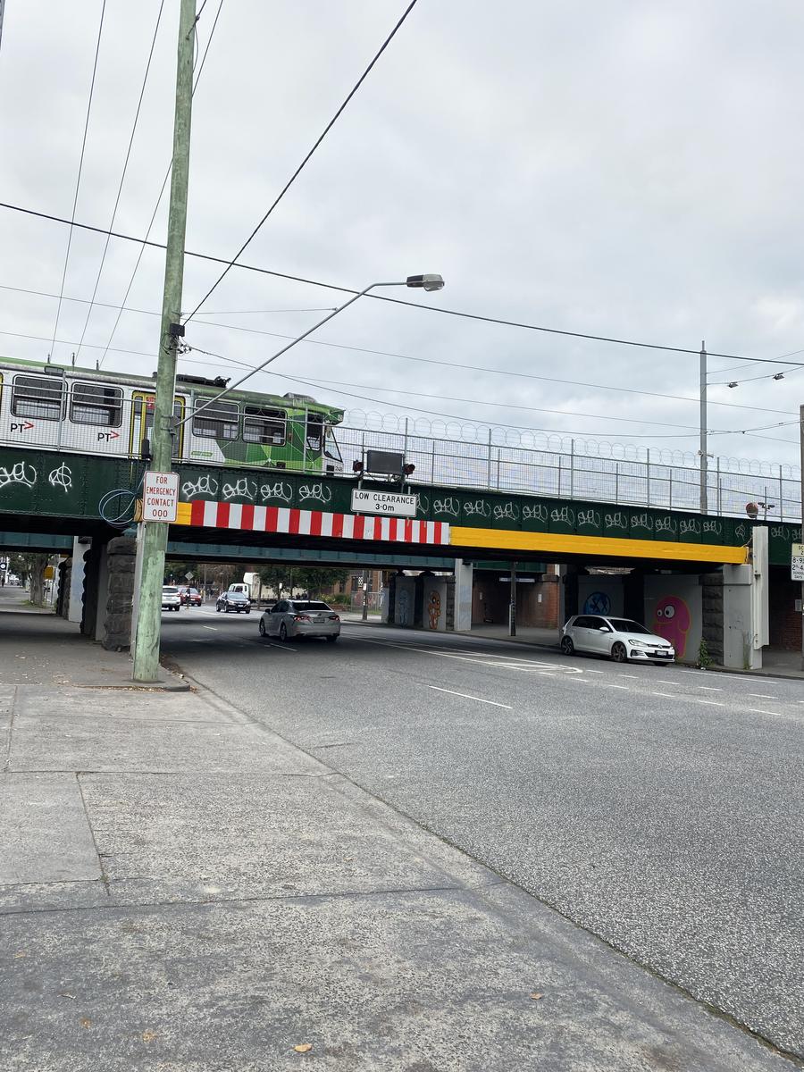
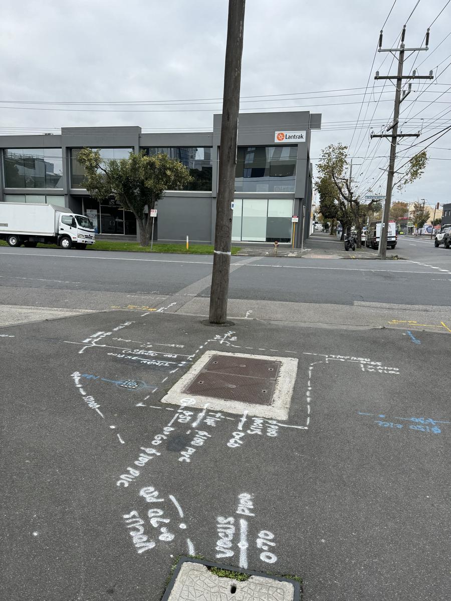
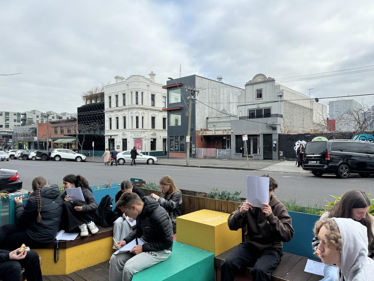
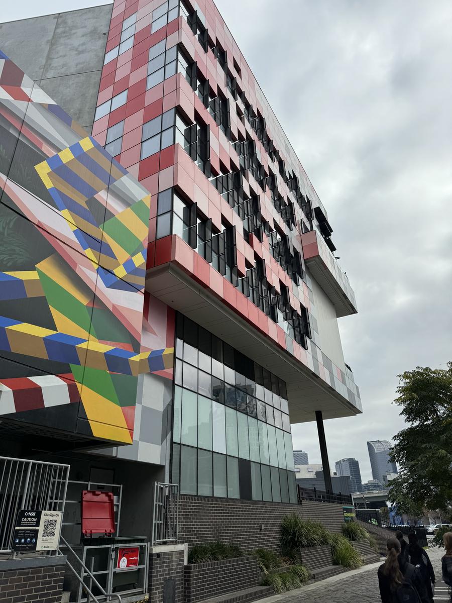
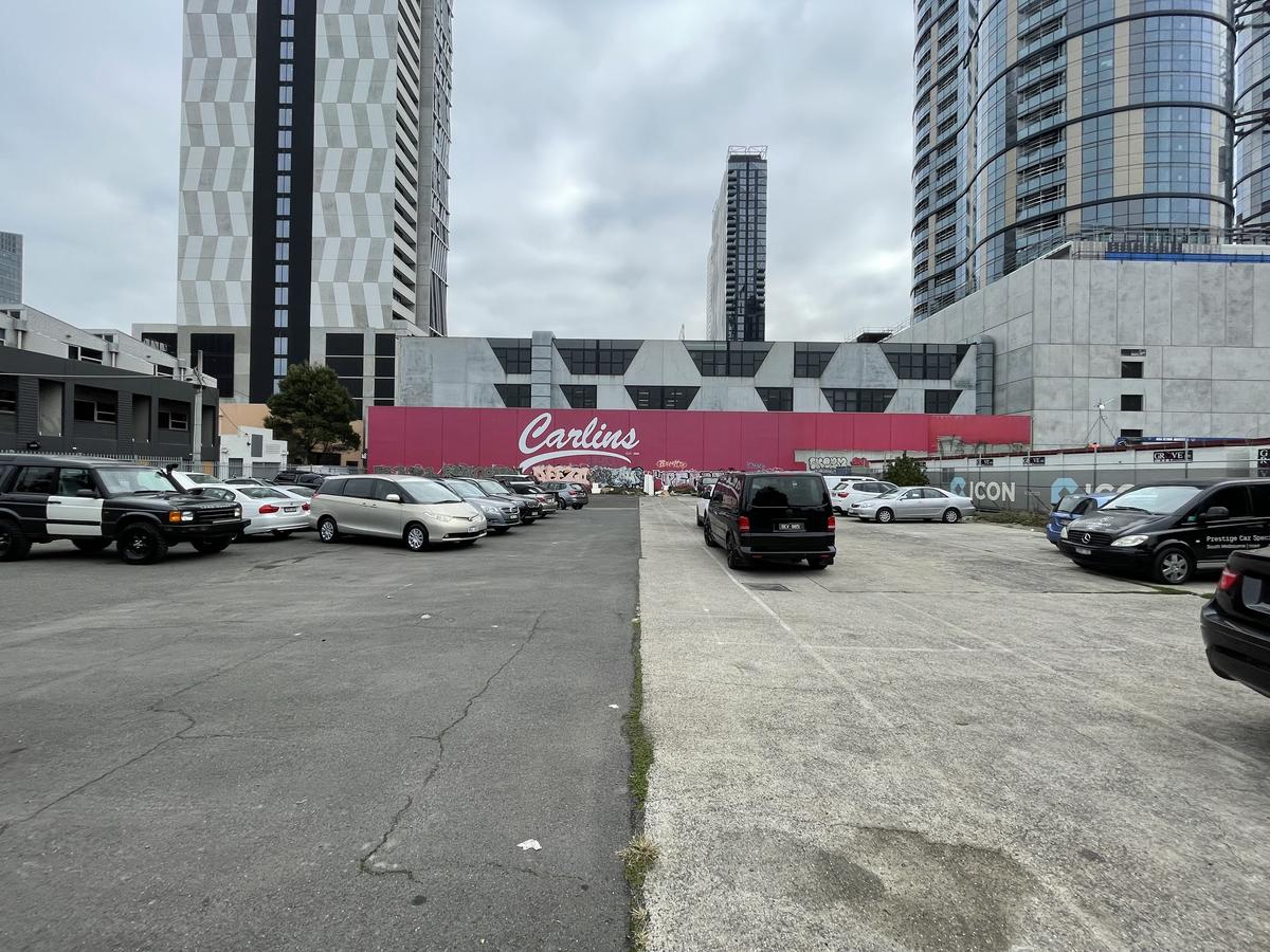
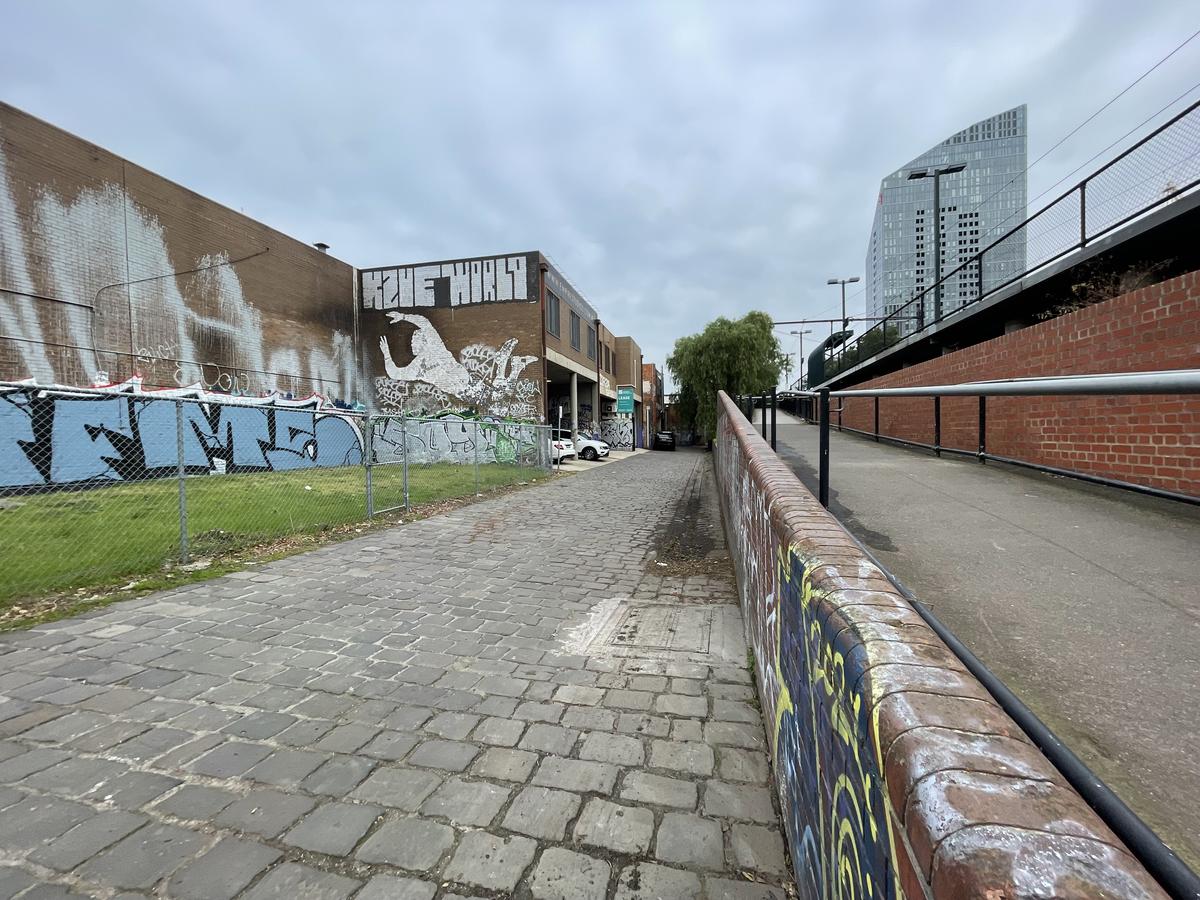
Friday 24th May Year 12 Geography went to Fishermans Bend to undertake Fieldwork and explore land use change as part of their Unit 3 studies. While on fieldwork, we collected observational data relating to the sustainability of the Montague Precinct of Fishermans Bend. We enjoyed hot jam donuts at South Melbourne Market, recorded traffic management at intersections throughout the Precinct, including the infamous Montague Street Light-Rail Bridge, and assessed the redevelopment of the area from an environmental, economic and social perspective.