Year 12 Geography Fieldwork Excursion

12 Geography Fieldwork
Land Use Change in Point Cook
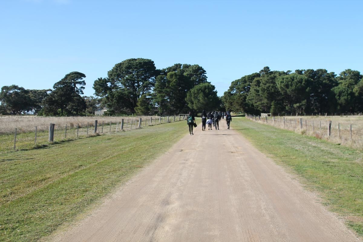
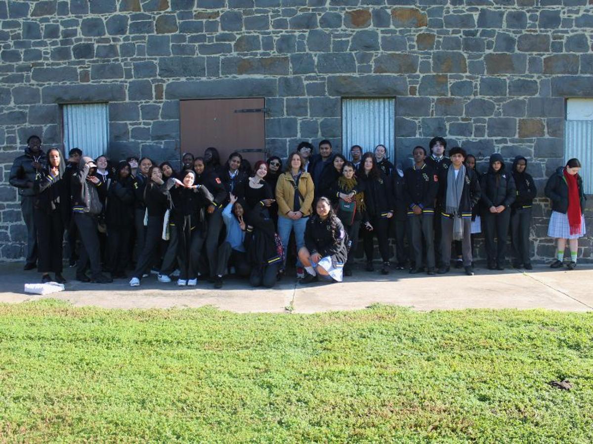
The Year 12 Geography students had the opportunity to apply their learning related to Unit 3 Land Use Change during our fieldwork in Point Cook. The purpose of the fieldwork was to analyse the social, economic and environmental impacts of land use change in the region. The major development of the suburb began in the late 1990s.
The traditional owners of the land are the Bunurong people of the Kulin nation. When Europeans began settling the land in this region in the 1850s, it became known as Point Cook (named after John M. Cooke, a ship’s mate on board H.M.S. Rattlesnake ). The land was largely used for grazing agriculture. In 1857, Thomas Chirnside took over the farmland and built a homestead. The Chirnsides also imported thoroughbred horses from England and established stables for breeding and horse racing.
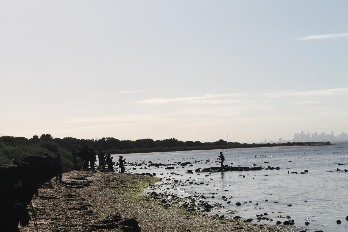
In the 1970s, some of the land was sold to the Cheetham Salt Company for salt recovery lagoons. The salt evaporation ponds were left there until the 1990s when the Victorian Government purchased the site. Saltwater Coast and Sanctuary Lakes residential development began. Major topographic changes were made to elevate the low-lying coastal land in order to accommodate the residential development.
Today, Point Cook is home to over 68,690 people and is expected to increase by over 30% between 2023 and 2041 to approximately 80,000. As a part of our fieldwork, students assessed how well the principles of urban planning and development are being applied to the ever-growing urban fringe region of Melbourne to ensure developers and policy-makers are avoiding conflicts related to urbanisation.