
Year 10 Geography GIS Incursion

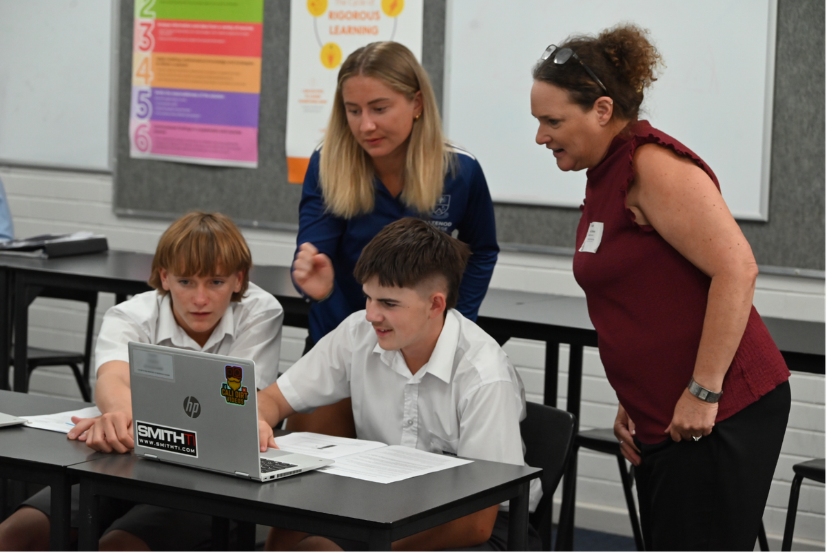
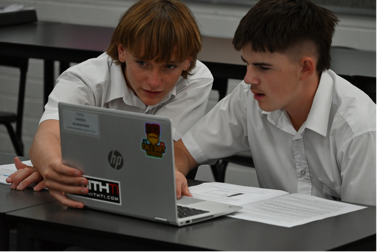
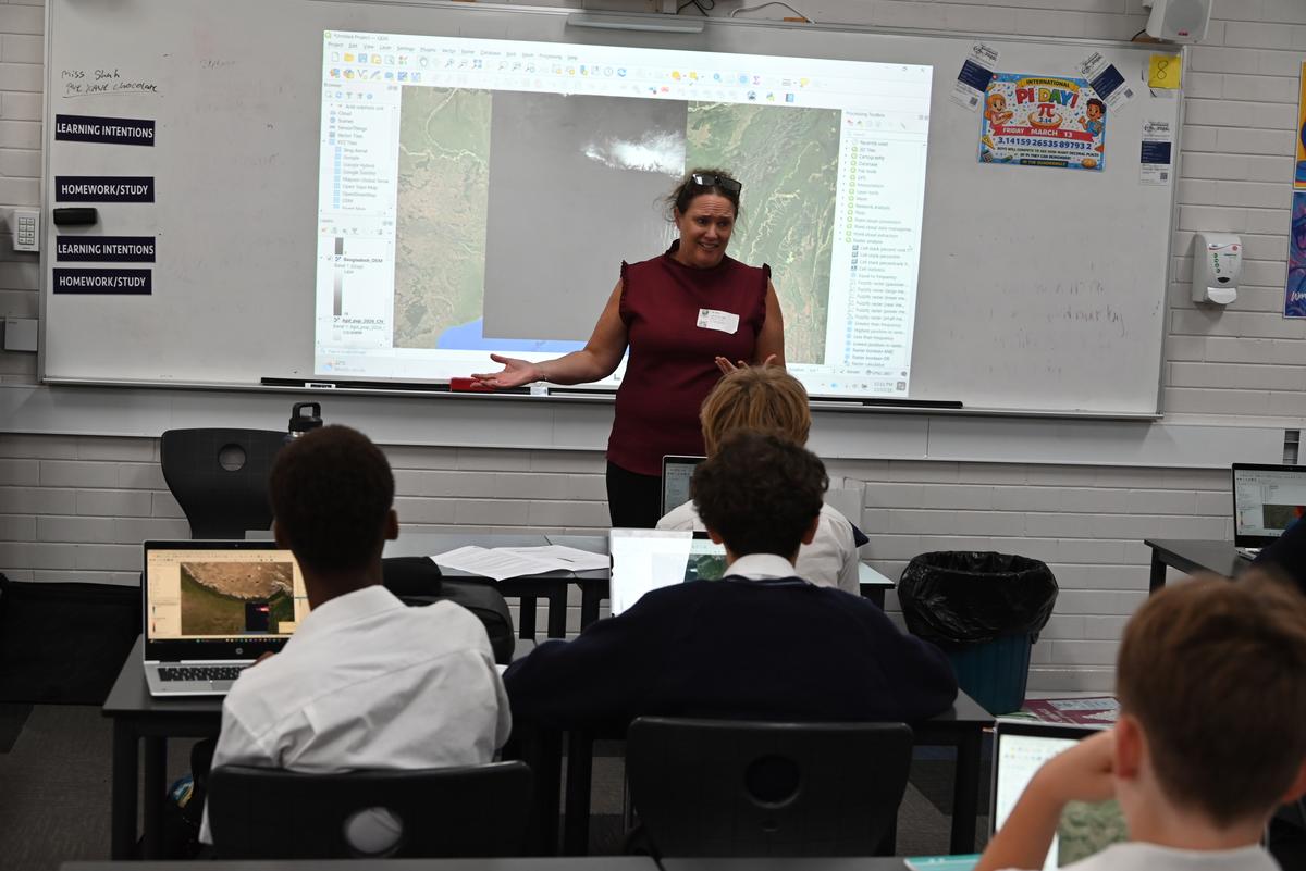
On Friday, 13 March, Linda Davies from the University of Notre Dame led a GIS incursion, guiding Year 10 Geography students through map building in QGIS using relevant course data. The workshop provided valuable, real-world practical skills and demonstrated the important role geography plays across a range of employment fields.
Student Reflections
During the incursion, we learned how to use the application QGIS to analyse and map data. It was exciting to see how geographic information systems can be used to understand real-world issues. We used the software to map population data and identify which communities might require the most support if sea levels rise.
Although Bangladesh and the Netherlands are both affected by rising sea levels, the ways in which they respond can differ significantly. Using QGIS helped us understand how factors such as population density and location can influence vulnerability and where support may be most needed.
The incursion helped us see how technology and geography can work together to address global challenges. It also highlighted the wide range of applications QGIS has in helping to better understand and respond to issues around the world.
- Logan P.
The QGIS incursion with Ms Davies from the University of Notre Dame was a highly engaging and enjoyable experience. During the session, we learned how to use a range of tools within QGIS to analyse maps and geographical data.
I particularly enjoyed exploring the different features and seeing how technology can enhance our understanding of the world. One of the most interesting aspects was learning about sea level rise and how it may impact countries such as Bangladesh and the Netherlands. Using mapping tools allowed us to clearly identify areas at risk of flooding and better understand how geography influences people’s lives. This made the topic feel more tangible and engaging, as we could visually interpret the potential impacts rather than simply reading about them.
Overall, the incursion was both enjoyable and educational. It provided valuable digital mapping skills and demonstrated how geography and technology can work together to investigate real-world issues such as climate change and rising sea levels.
- Bentley S.
Carrin Richter
Teaching Staff