
Student Learning

Cartography Buddies
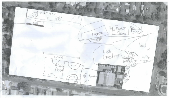
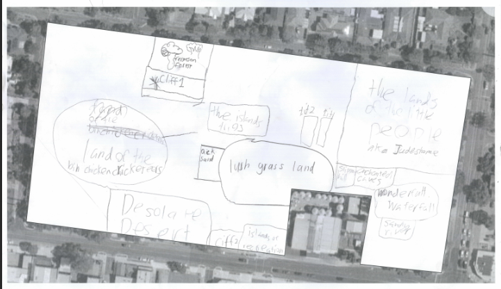
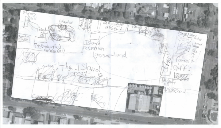
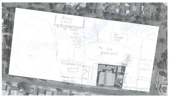
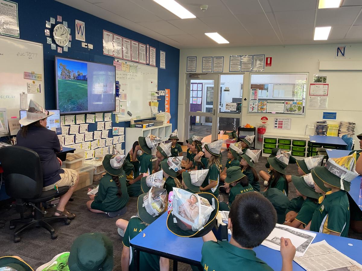
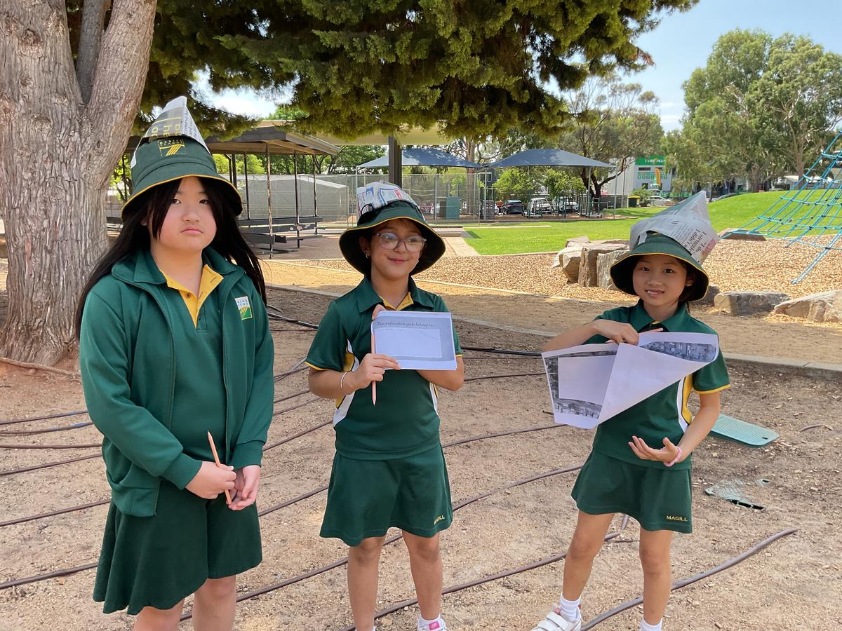
In M6 and F14 the buddy groups have been hard at work creating and interpreting maps of the school grounds. Students took on the role of early explorers, hand drawing a map of the school which feels so familiar in our hearts but is a lot harder to imagine from above. Locations around the school were given much more interesting names and our budding cartographers sent out to find and draw their discoveries. Would you have been able to relate some of our clues to their real-life school locations? The Dangerous Quicksand, The Land of the Little People, or even The Wonderful Waterfall?
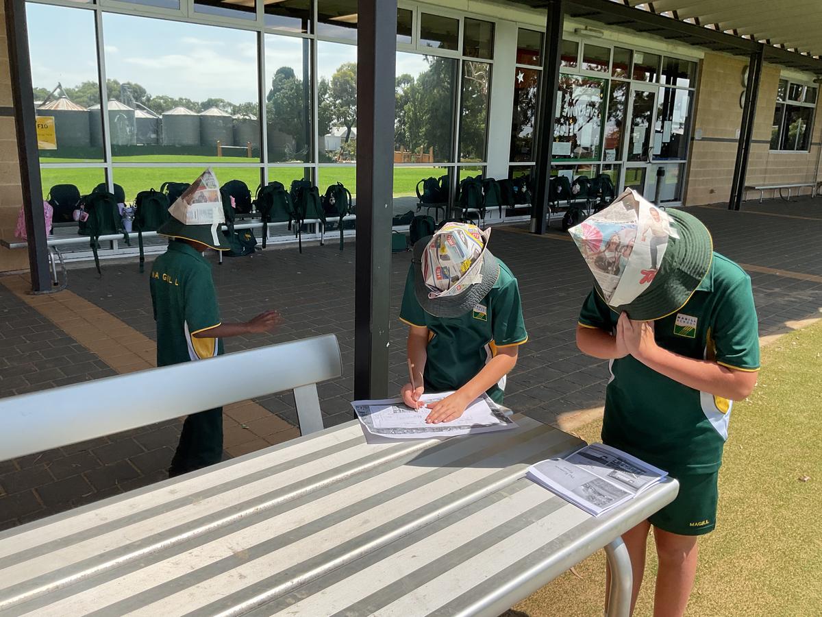
After the initial map, our adventurers then had to find hidden treasure at a spot chosen by their devious pirate teachers. The only problem was the pirates chose a real life spot and marked the X in the “right” spot according to their actual location, but on the groups’ own map which was in many cases highly inaccurate. So if the adventurers looked at the map they may think the treasure was by the canteen, but only because they drew the canteen in the wrong spot. It was a real head scratcher.
Eventually all of our brave adventurers found their treasure, with a few helpful hints and a photo of the school from above, and enjoyed a delicious reward. We have learnt a lot about cartography, and have a newfound appreciation for early explorers and subsequent technological advances such as satellite imagery and colour printing.
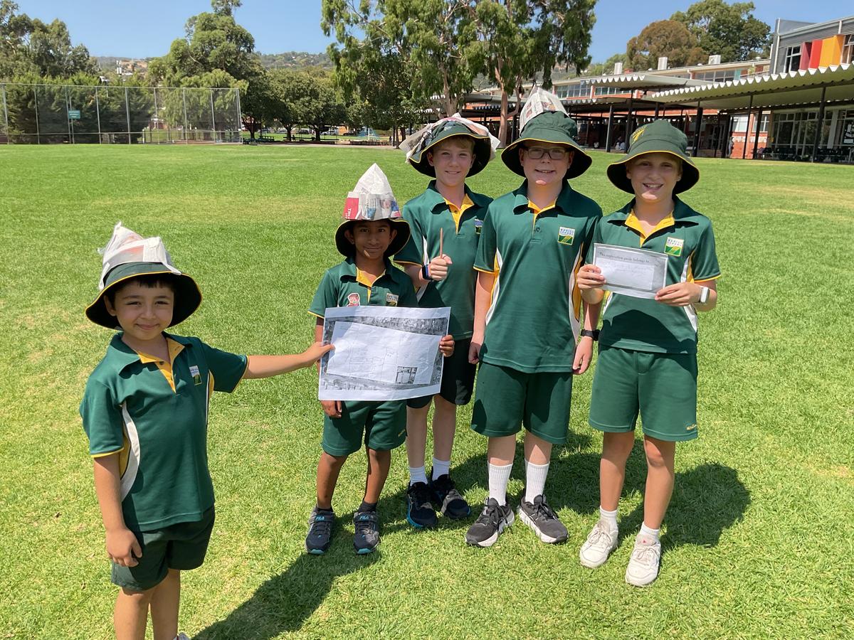
And for the record, Dangerous Quicksand is the sandpit/long jump pit near Ferguson Building, The Land of the Little People is New Build, and The Wonderful Waterfall is the snazzy new water pump in the JP Nature Play area.