Year 5/6 Bulletin

What are ERP’s
ERPs are an integral part of continuously unpacking the Big Idea.
Teaching in this area emphasises on developing students skills, and learning how to learn, and isn’t preoccupied only with content and knowledge.
Structure of an ERP
- ERPs are introduced with a 15-20-minute whole-class session, which serves as a focused, explicit teaching session to prepare students for their independent work on the ERPs.
- Once research begins, students work on the ERPs and focus students conduct student-led conferences/clinic groups with their teacher of about 5-10 minutes-
- The teacher scaffolds other information, skills or requirements for the session and works/guides clinic groups.
Our current Big Idea- Curriculum link to Geography
Australia’s location in the world influences how we live and connect with other countries.
Driving Questions:
- Where is Australia located in comparison to Europe, North America and Asia?
- How does Australia’s location affect our lives?
- How do we connect to the rest of the world, and how can we continue to promote connectedness?
Overview:
For students to research and understand how Australia’s location influences its connections with other countries and how these connections shape the characteristics of places, interconnections, and patterns on local, regional, and global scales.
So far, the students have explored-
- The location and characteristics of places, identifying the geographical location of well-known countries in relation to Australia.
- Major regions: Europe, North America, Asia.
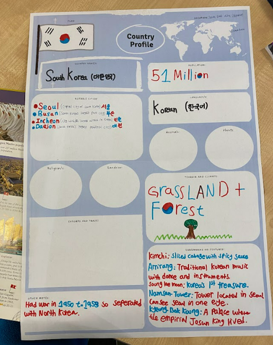
- Specific countries: Students have one country from each region to compare to Australia
The expectation is that students research to identify and describe the major physical features of their county;
-Natural landscapes (mountains, rivers, forests, etc.)
-Climate and weather patterns.
-Environmental characteristics (biodiversity, ecosystems).
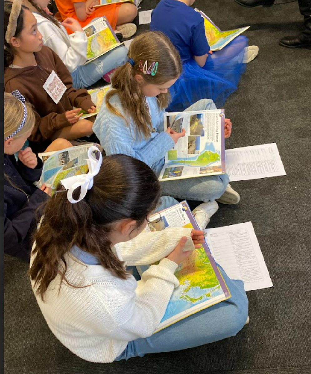
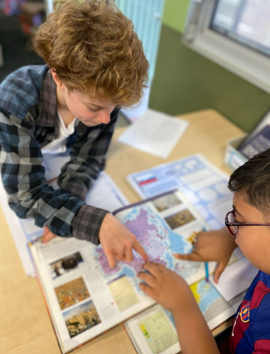
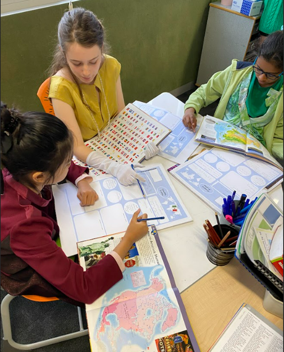
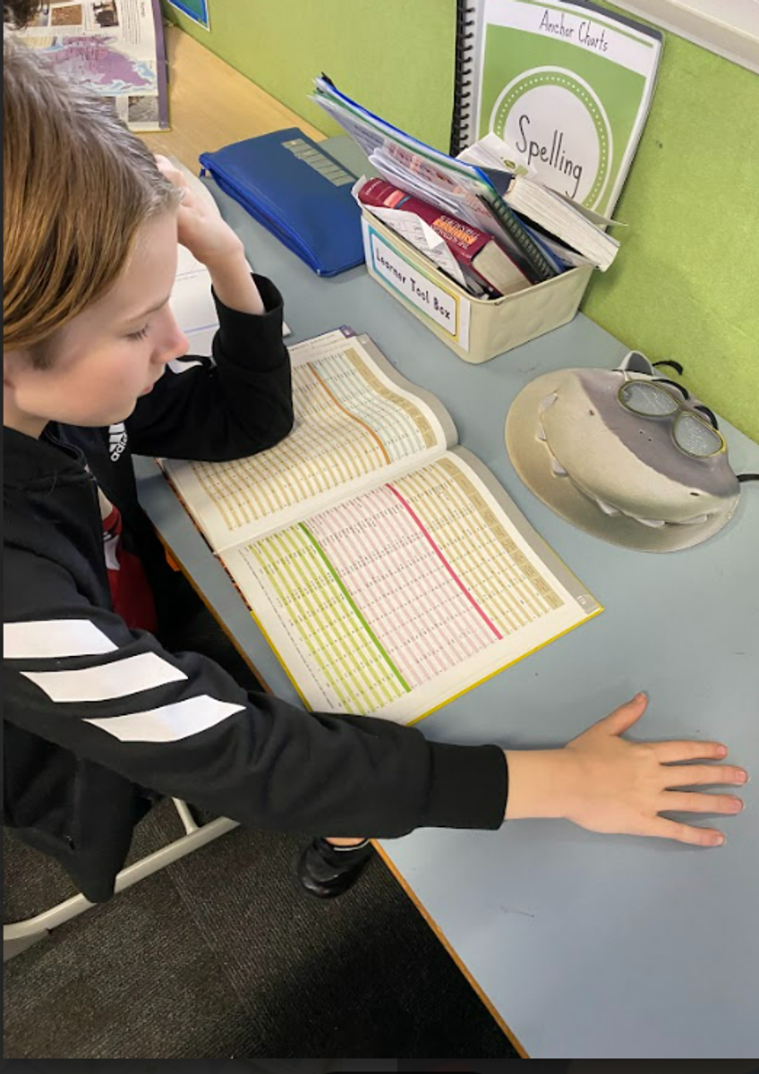
This week, we are exploring the use of an Atlas and how to find and use reliable sources to locate, collect and organise relevant information on Australia and our chosen country.
Learning intention: To effectively find and read relevant information in an Atlas.
Whole — Discuss that using an atlas is about locating where something is, but it’s also about using what we find to interpret and understand the features of a location.
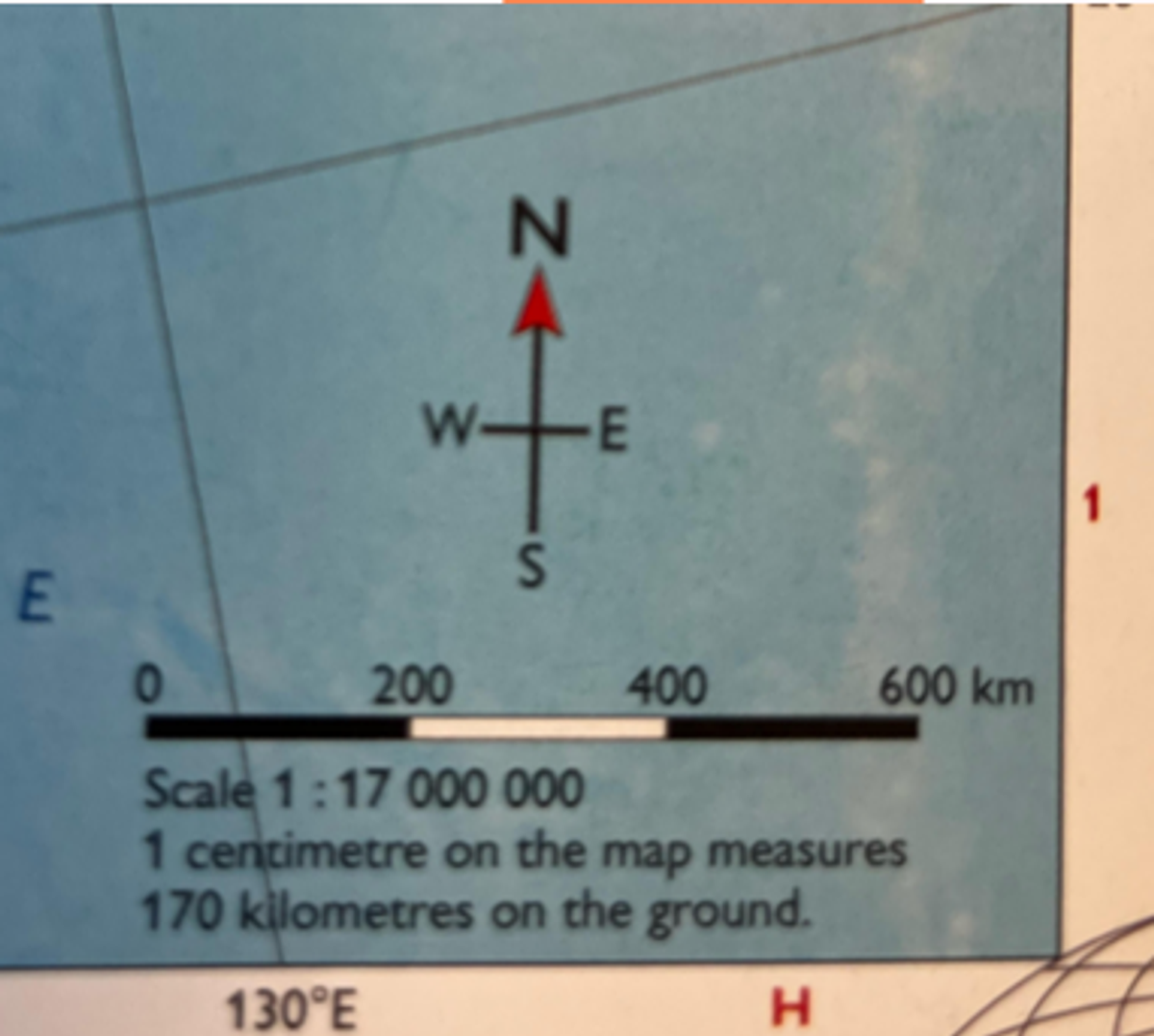
- What is an atlas? A collection of different maps at different scales.
- What is the purpose of an Atlas? Why would we need one?
- What can we gather from an Atlas? Shows physical, political or thematic information.
Physical shows the land's natural features, such as mountains, rivers and lakes.
Political shows national boundaries and major urban areas such as towns and cities.
Thematic information on a particular theme, such as rainfall, levels of wealth or the location of biomes (an area of the planet that can be classified according to the plants and animals that live in it).
- When looking for something in an atlas, where do we start?
- What is the difference between Index and Contents? Contents topic-based. Index more specific. Almost everything is listed in the index.


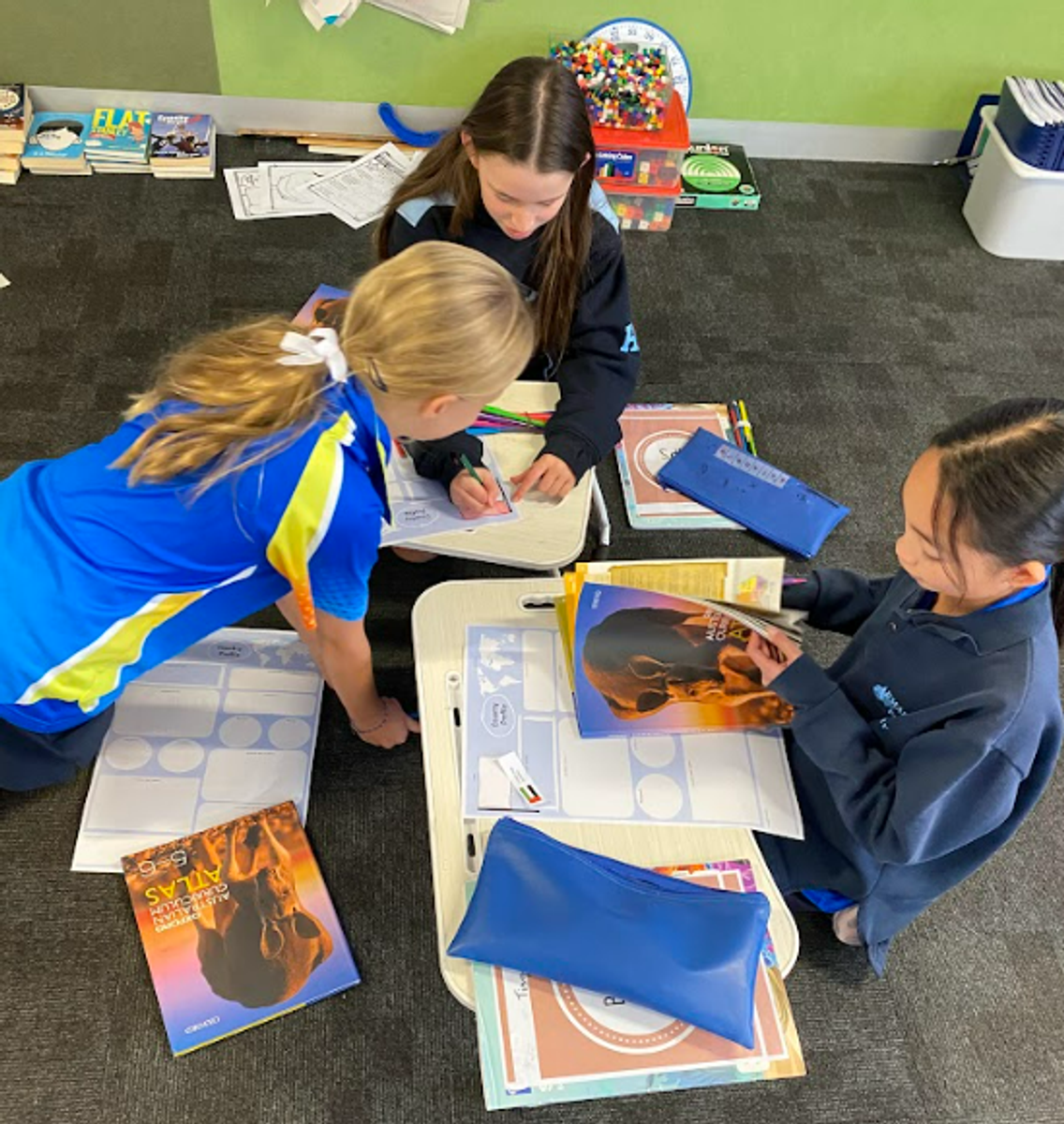
Small—Students use an atlas to locate their country and add as much detail as possible to their Country Profiles.
When Atlas information is exhausted, the students can move to MapMaker (arcgis.com) to gather further information. Use this map layer to visualise the characteristics of Earth’s biomes, such as forests, grasslands, mangroves, and ice.
Whole—Students share how effective they were in locating information using the different methods modelled in the whole session.
- What did we find?
- Clarifications or obstacles?
- Anywhere else we found helpful information?
- As you recorded your information, did you consider what it tells us? For example, if the country is landlocked, how would that influence its lifestyle? Trade? Population growth?


How you can support the learning at home:
To enhance your child's geography, research skills, and critical thinking at home, you can start by encouraging them to use non-digital resources, such as an atlas or a globe, to explore continents, countries and regions. Engage them in discussions about maps and ask open-ended questions, such as; What if….? What might….? How would….?, to help them develop observation and analytical skills. Additionally, you can help your child think critically by comparing information from different sources, like books or documentaries, before resorting to the internet. Having conversations about their findings and encouraging them to explain their thoughts will further strengthen these essential skills.
Jenny, and Brad
Year 5/6 Team